03 April, 2024
15cm HD Daily Imagery, a New Constellation
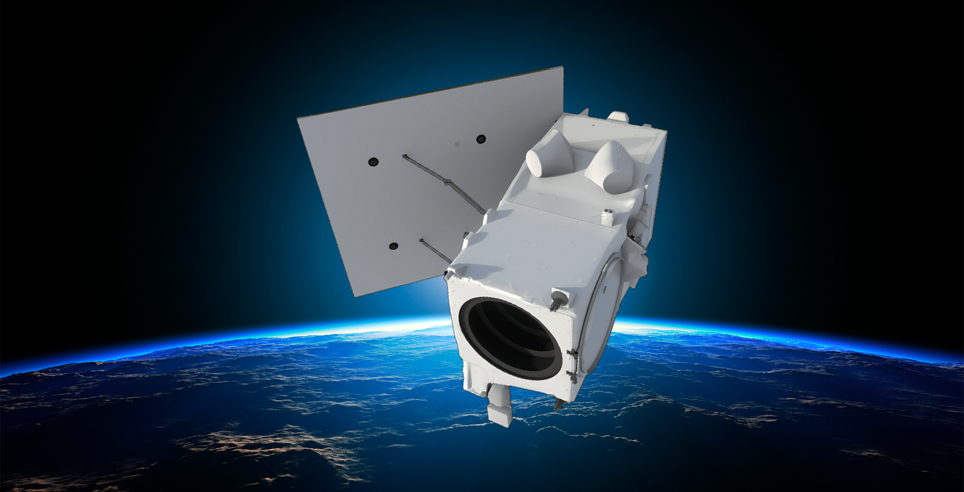
As we get closer to the launch of two Maxar Legion satellites later this month, the promise of multi-intra-daily revisits at 30cm spatial resolution and the benefits become more tangible. High resolution optical and multispectral monitoring enabled by the 8-Band sensors will be a gamechanger for everyone needing to monitor and analyse rapid changes on the Earth’s surface. Combined with the processing and analytical expertise of Geoimage in the fields of mining, exploration, infrastructure and agriculture you can be sure the value proposition of satellite imagery never looked better.

The first two of six planned Legion satellites arrived at the Vandenberg Space Force Base in California, USA last Monday and are being readied for blast-off upon a SpaceX Falcon 9 rocket. The launch will be broadcast live on spacex.com and x.com/spacex. Stay tuned for updates on the launch schedule. Following launch, the satellite sensors will go through a process of calibration to ensure the best possible data quality is achieved once the sensors are live. The calibration processes typically take between 4 to 8 weeks and Geoimage will be counting down the days until the first commercial images are captured, which should be around June.
Some of the many applications where we are expecting to see benefits include vegetation classification for invasive species; forestry monitoring for illegal logging; construction monitoring in the urban and mining landscapes; greenfield exploration via alteration mineral mapping and rapid updates of digital twins.
As a proud partner and gold reseller of Maxar, we are looking forward to having many discussions with you on how we can help with your particular challenge in the months ahead.
Stay tuned for more updates!


