Products
Our products can be used for a wide range of applications, such as land management, resource exploration, project planning, and risk assessment. We have a team of experienced geospatial analysts who work closely with our clients to provide tailored solutions that meet their specific requirements.
Request a quote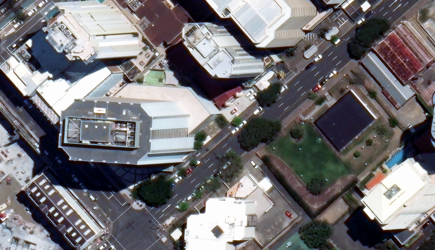
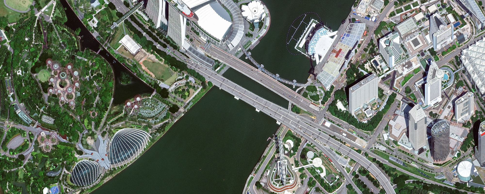
15cm HD Imagery
Experience unparalleled clarity with 15cm HD imagery, surpassing conventional commercial satellites. This precision is achieved through specialised techniques, proprietary software, and advanced algorithms, enhancing pixel count for detailed Earth surface analysis.
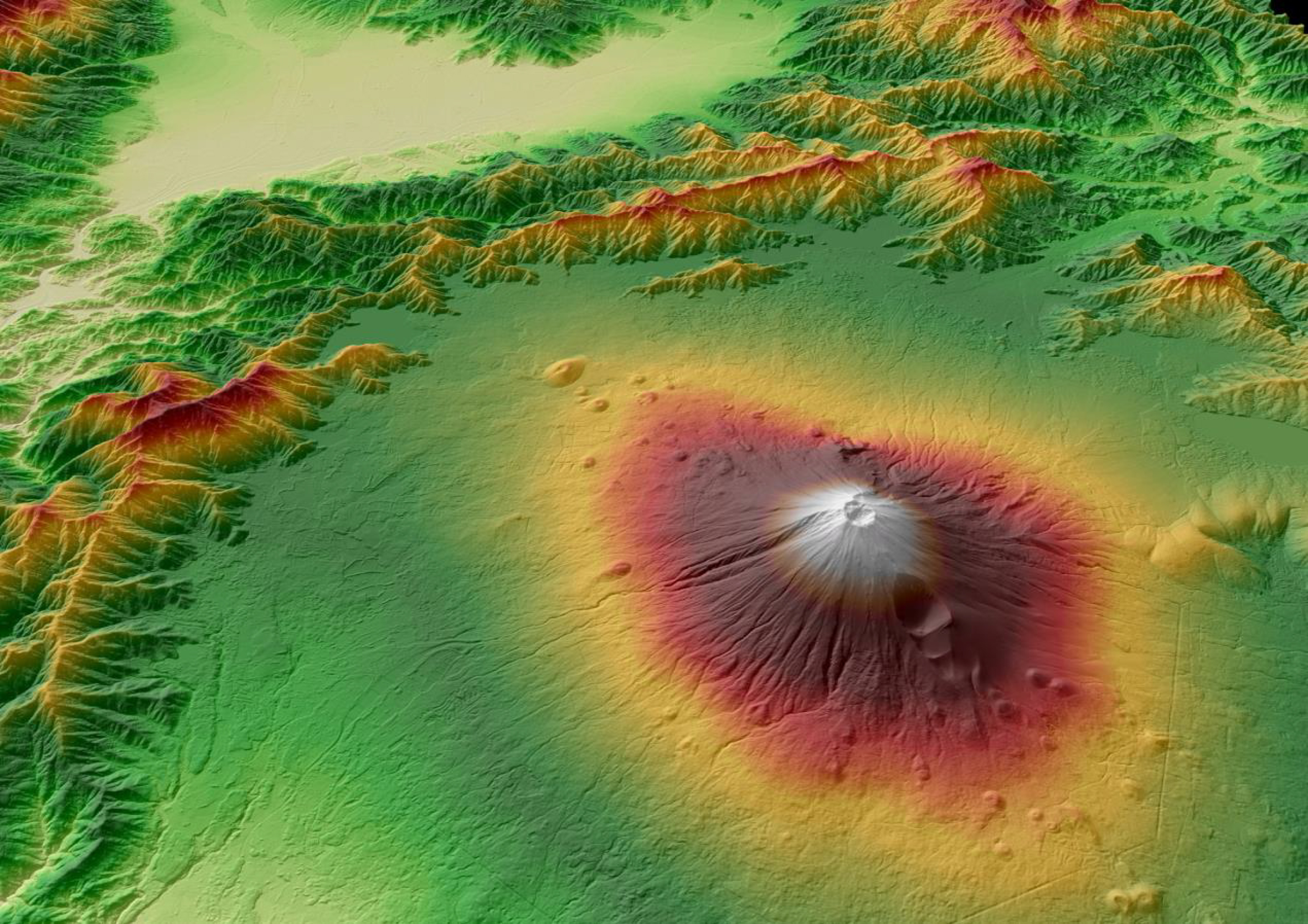
Digital Elevation Models
Geoimage specialises in the creation of various digital elevation models using satellite imagery. Whether you need contour maps, modelling services, or visualisation solutions, we are confident in our expertise and experience to fulfil all your elevation requirements.
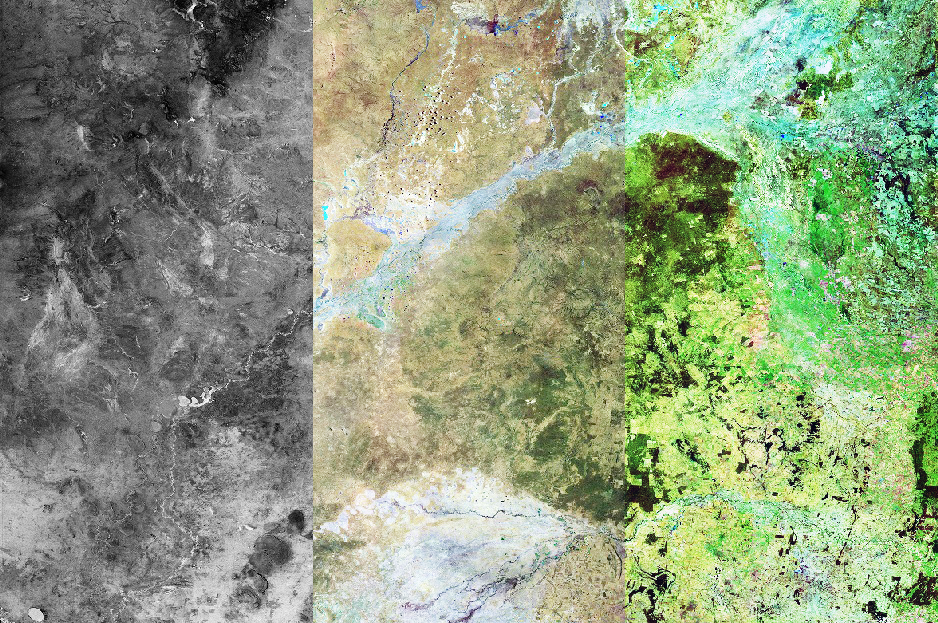
Geoimage Spectral Suite
The Geoimage Spectral Suite is a collection of image enhancements that utilise data from ASTER or WorldView-3 satellites, offering numerous advantages. The suite includes different techniques and algorithms to extract valuable information from satellite imagery, allowing you to gain deeper insights and improve their analysis.

groundWATCH
groundWATCH by Geoimage, is a web-based visualisation application that operates on an enterprise GIS platform. This user-friendly application offers a secure environment for individuals to interact with both raster and vector data.
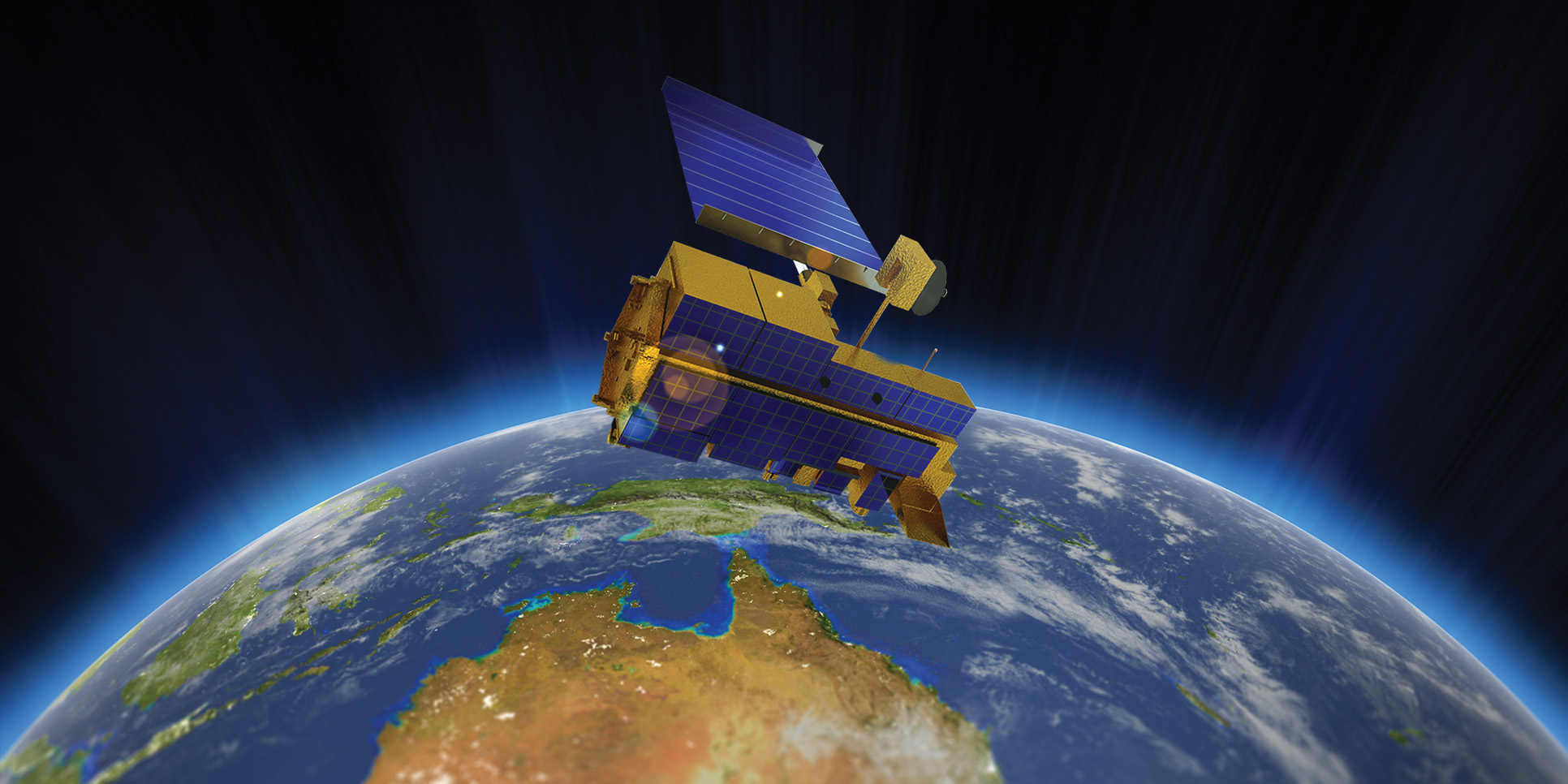
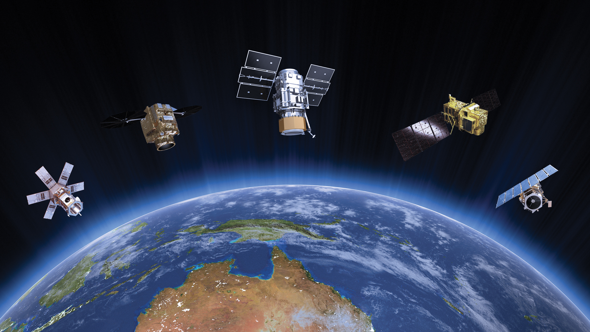
High Resolution Satellite Imagery
Satellites have emerged as a leading solution due to significant developments in resolution and coverage in recent years, and they offer a wide range of features that make them an excellent alternative for obtaining data and information from remote or inaccessible regions. With rapid tasking and no mobilisation or boots on ground, it is a fantastic way to capture key information for your project.
Maxar Geospatial Platform Pro
Fast and easy access to the pinnacle of Earth intelligence worldwide, streamlining the process of discovering, purchasing, and integrating geospatial data and analytics.

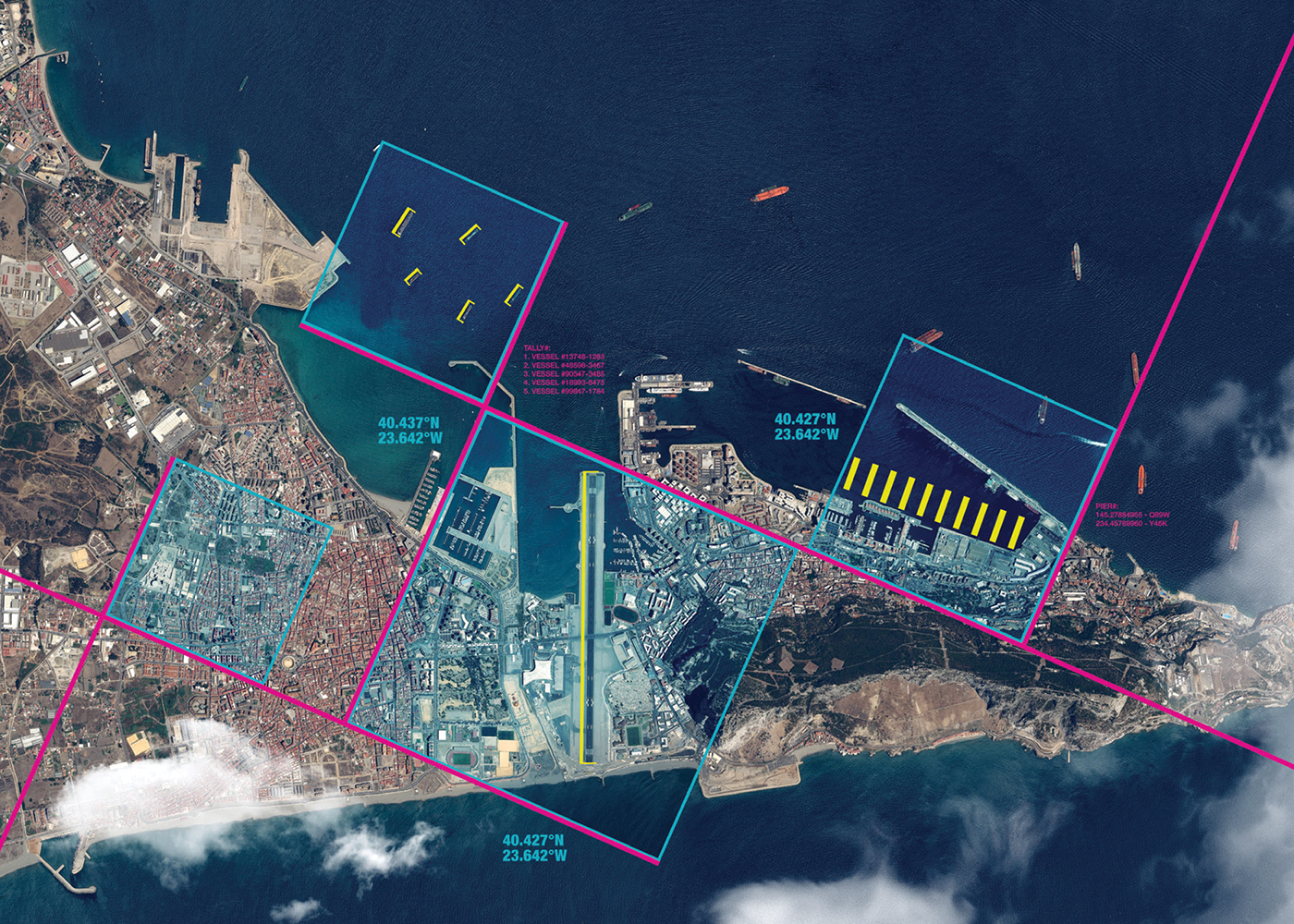
Monitoring as a Service
Monitoring as a Service (MaaS) utilises satellite imagery for environmental compliance, land-use, and legal regulation monitoring. Geoimage offers tailored, high-resolution monitoring services, adaptable to your specific needs.
Mosaics
Geoimage excels in mosaicking with more than three decades of expertise. We create captivating large-scale mosaics for Australian states, using cutting-edge techniques, precise color correction, and cloud removal to ensure top-quality outcomes for clients.
OneAtlas
OneAtlas is a collaborative environment that provides easy access to premium imagery, enables large-scale image processing, extracts industry-specific insights, and utilises Airbus assets for solution development.
Premium Service Bundle
Our Premium Service Bundle (PSB) provides convenient access to satellite imagery and geospatial solutions with two tiers, Premium and Premium Plus, offering increasing benefits. No more multiple purchase orders and quote requests, as the PSB streamlines the ordering procedure.