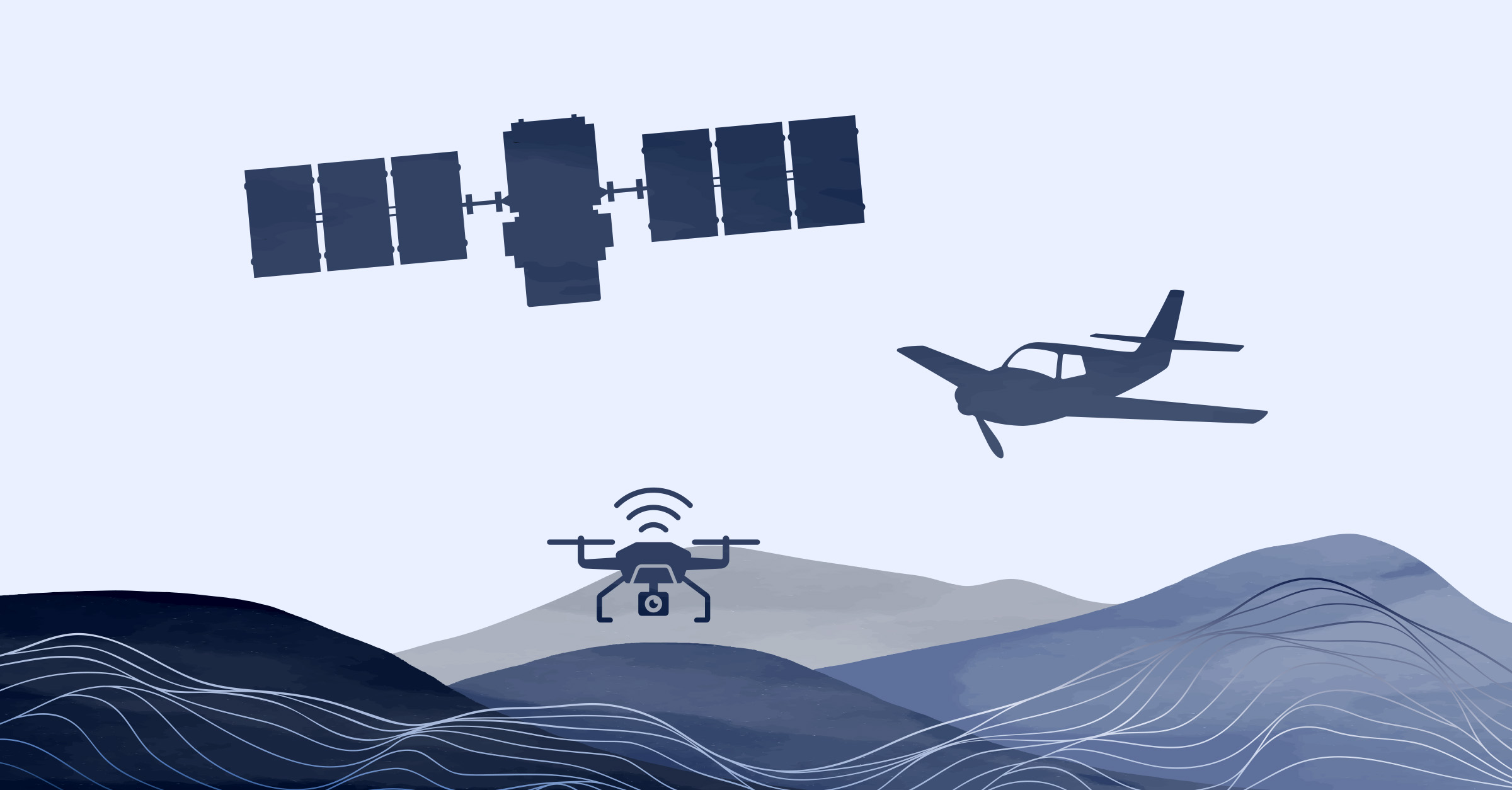
Advantages of satellite imagery
Global coverage
Satellites provide global coverage, allowing the capture of remote and inaccessible areas, as well as regions that are difficult to access by other methods.
Reduced operational costs
Satellites need minimal on-site logistics and involvement, while drones and aerial surveys involve more complexity and cost.
Cost-effective for large areas
Satellite imagery can be more cost-effective when it comes to covering large geographical areas. Drones or aircraft over large areas can be expensive and time-consuming, whereas satellite data can cover vast regions in a single pass.
Consistency and reliability
Satellites can capture imagery at regular intervals, providing a consistent and repeatable data source allowing for long-term monitoring and trend analysis.
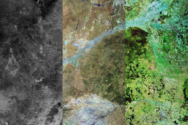
Spectral bands
The availability of multiple spectral bands, including 8, 16, and soon Hyperspectral options, along with 4 bands for 15cm HD resolution!
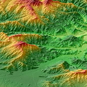
Historical archive
Satellite imagery offers valuable historical insights for tracking and analysing long-term environmental, mining, and infrastructural changes.
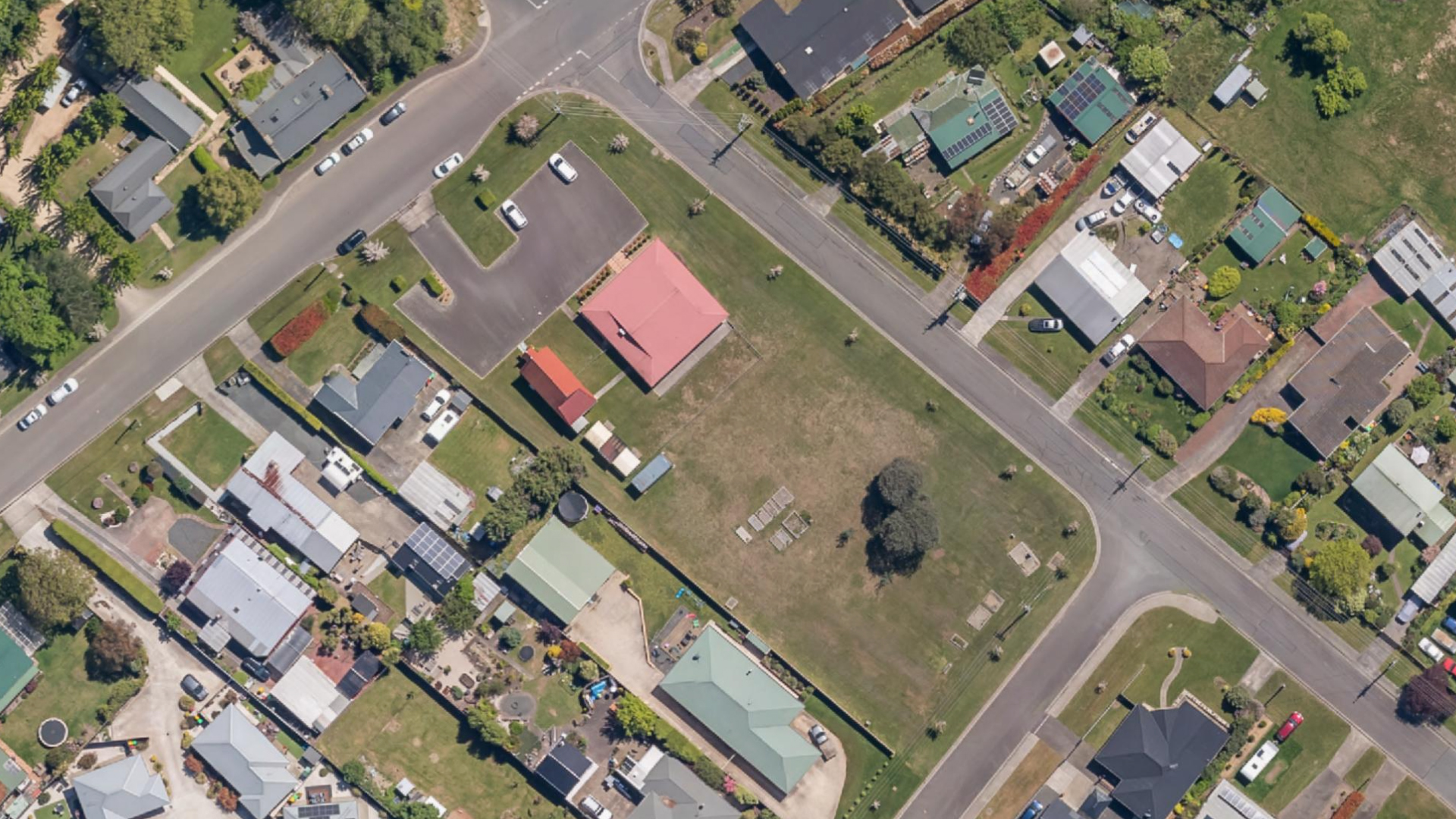
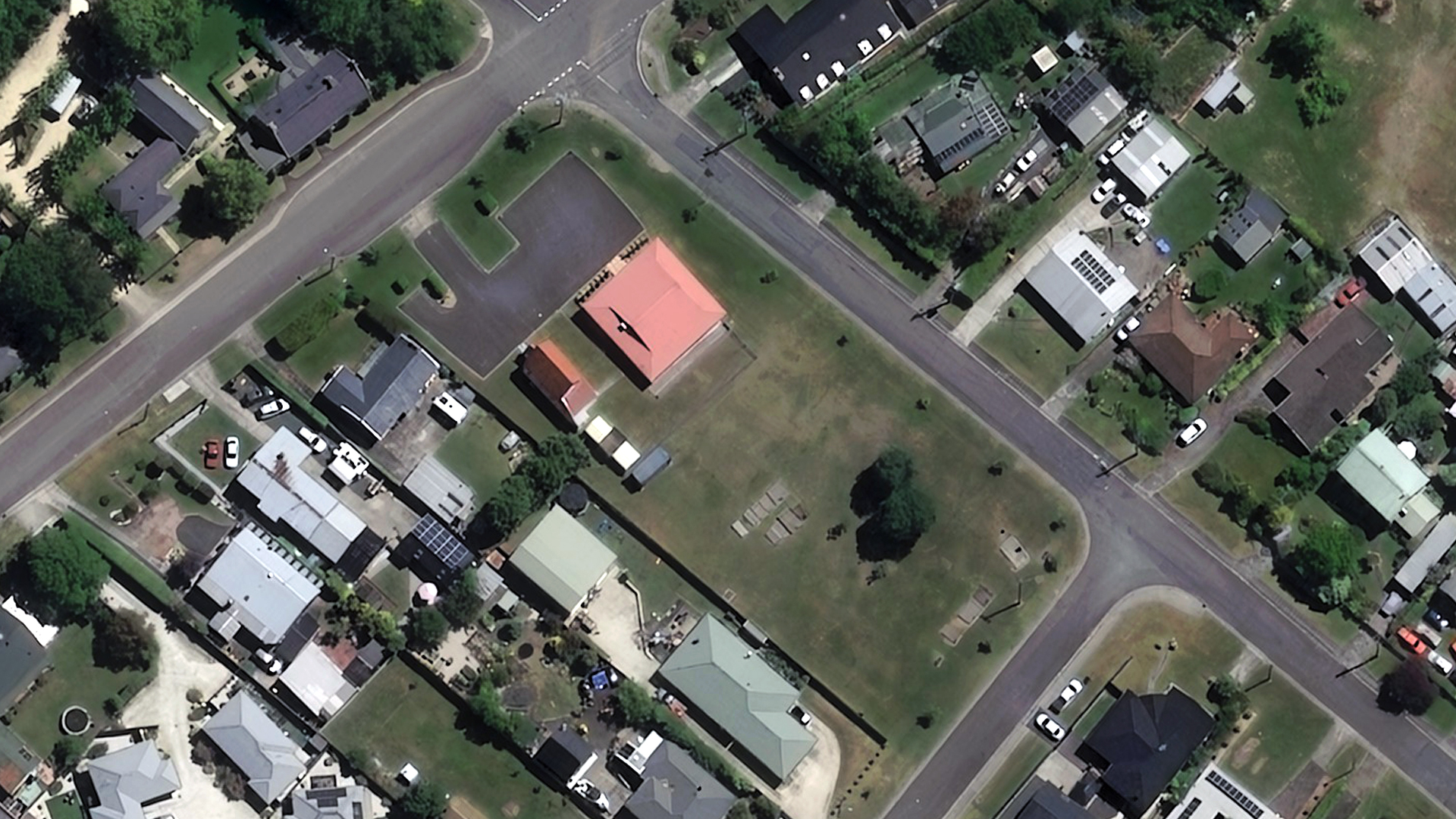
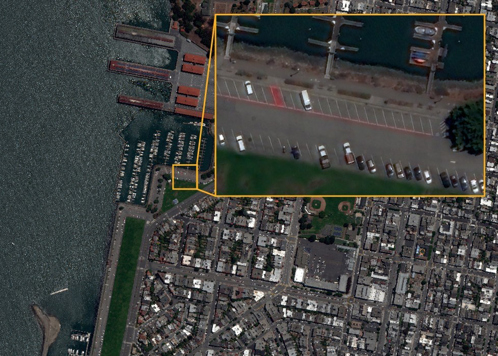
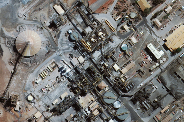
Compare high-resolution satellite imagery with aerial imagery
Advancements in satellite imagery technology have reached an impressive 15cm resolution, which rivals the sharpness of aerial and drone imagery while also being more cost-effective.
Read more about our satellite imagery services

Satellite imagery and spatial solutions
Geoimage offers professional and independent advice on the supply and application of commercially available satellite imagery and spatial datasets for a wide range of applications.

We partner with the best satellite providers in the business


