Trusted mosaicking specialists
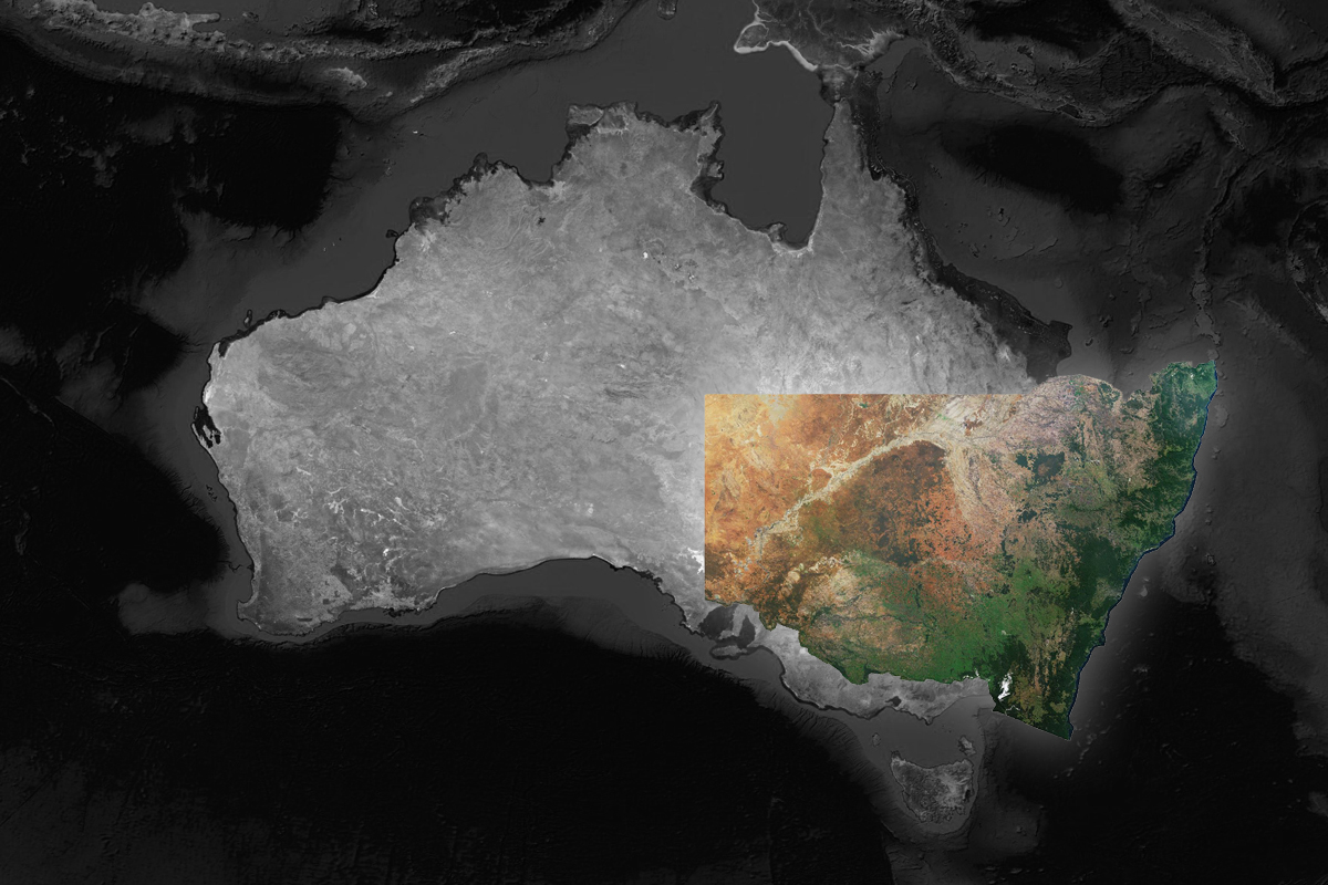
For more than three decades, Geoimage has been at the forefront of mosaicking expertise, earning a strong reputation as a leading specialist in the field. Our extensive experience has empowered us to successfully create large state-wide mosaics for various Australian states, including NSW and Victoria.
What makes us stand out from the rest is our exceptional blend of skills and cutting-edge techniques, ensuring that our mosaics are not only accurate but also visually captivating. We methodically improve software-generated cutlines, execute exact colour correction, remove disruptive clouds, and refine excessively dark areas in our pursuit of delivering the best outcome for our clients.

Seamless satellite imagery
Our process begins with capturing multiple satellite images over the target area, utilising a satellite constellation that perfectly aligns with the project's requirements. These images often have overlapping regions, ensuring seamless integration during mosaic creation.
To guarantee precise alignment and positioning of the images in the mosaic, each individual image undergoes georeferencing. This critical step involves assigning geographic coordinates, such as latitude and longitude, to every pixel in the image.
Next, we put our raw panchromatic and multispectral (false colour) imagery through a standardised set of processes, including orthorectification, pansharpening, and colorisation, culminating in the production of the final mosaic.
In areas where clouds may pose challenges, our adept team recaptures the data, and our advanced cloud masking capabilities ensure a stunningly clear and visually appealing mosaic.
