Delivering cutting-edge solutions
At Geoimage, we are committed to delivering innovative and cutting-edge spatial technology solutions that provide valuable insights, exceptional value, and improved outcomes for Government agencies. We offer high quality custom solutions with rapid delivery time frames.
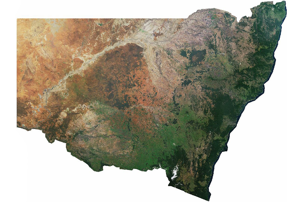
Leading specialists in mosaicking
For over three decades, Geoimage has firmly established itself as a leading expert in the field of mosaicking, specialising in the creation of large state-wide mosaics for various Australian states, including NSW and Victoria.
What sets us apart from other service providers is our unique combination of skills and techniques. Drawing on our extensive expertise and years of experience, we have honed our methods to not only ensure precision and accuracy but also to achieve visually stunning mosaics. Our team pays meticulous attention to detail, meticulously refining software-generated cutlines, applying precise colour corrections, eliminating cloud interference, and ensuring that excessively dark areas are avoided, among other aspects.
Empowering Governments with disaster response solutions
Geoimage offers governments invaluable satellite imagery and geospatial solutions for disaster response. These tools facilitate quick damage assessment, assisting authorities in prioritising rescue and relief efforts, resource allocation, and guiding search and rescue operations to critical areas.
Real-time monitoring of disasters, including wildfires, floods, hurricanes, and volcanic eruptions, helps predict their impact and develop effective response strategies. Governments can proactively safeguard communities by creating risk maps and implementing early warning systems to minimise the impact of disasters.
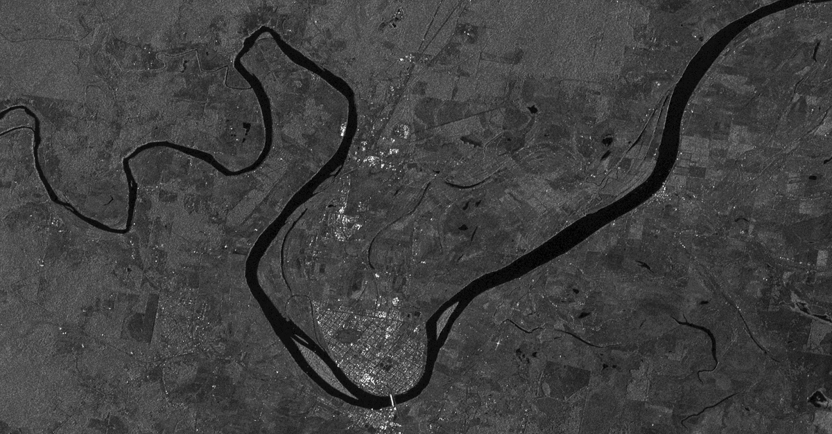 Above: Series of images showing permanent water coverage (blue) and flood water (red) over Grafton using Sentinel 1 data.
Ensuring compliance, transparency, and sustainability
Geoimage offers valuable assistance with change detection and land use compliance for government infrastructure maintenance and urban planning. Our high-resolution satellite imagery and remote sensing expertise enable accurate monitoring of infrastructure changes, identify encroachments, assess environmental impact, and support effective urban planning.
Geoimage integrates geospatial data into existing GIS platforms, providing customised solutions for streamlined decision-making. Overall, our services empower governments to make informed decisions, ensure sustainable development, and efficiently manage infrastructure assets.
Read more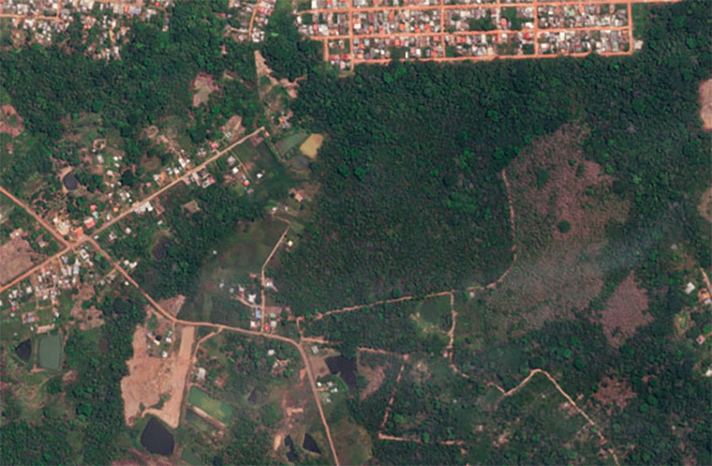
We offer a range of solutions
Our team of experts provides professional and independent advice on the acquisition and use of satellite imagery. Let us assist you in achieving your objectives with our tailored services.
Spectral analysis
Leverage our suite of spectral analysis tools to make well-informed decisions.
Learn moreDigital Elevation Models
Crucial for geospatial analysis, DEMs describe the 3D surface and enable orthorectification of imagery.
Learn moregroundWATCH
Our web-based dashboard for secure visualisation on enterprise GIS platforms.
Learn moreOur clients
We pride ourselves with working with the best in the industry.


