Geoimage Spectral Suite: Empowering geospatial insights and analysis
The Geoimage Spectral Suite is a comprehensive set of image enhancements that utilises data from ASTER or WorldView-3 satellites, providing a wide range of distinct advantages. The suite consists of various techniques and algorithms designed to extract valuable information from satellite imagery, enabling you to gain deeper insights and enhance their analysis. Each enhancement within the suite offers its own unique benefits, making it a versatile and powerful tool for geospatial data analysis.

WorldView-3 Spectral Suite
The Geoimage Spectral Suite utilises WorldView-3 data to highlight features based on material reflectance characteristics. The spatial units vary in size, and the satellite measures the integrated reflectance of materials within these areas. The higher resolution of WorldView-3 imagery when compared to ASTER reduces spectral mixing from different materials. However, factors like vegetation, shadows, and clouds affect the measured signal.
The enhancements presented are variations of proven techniques that utilise spectral responses. WorldView-3 imagery provides high-resolution information useful for geological mapping and identifying mineralisation-related alterations. Different colour composites and enhancements are available for vegetation, iron oxides, SWIR bands, and clay-bearing minerals.
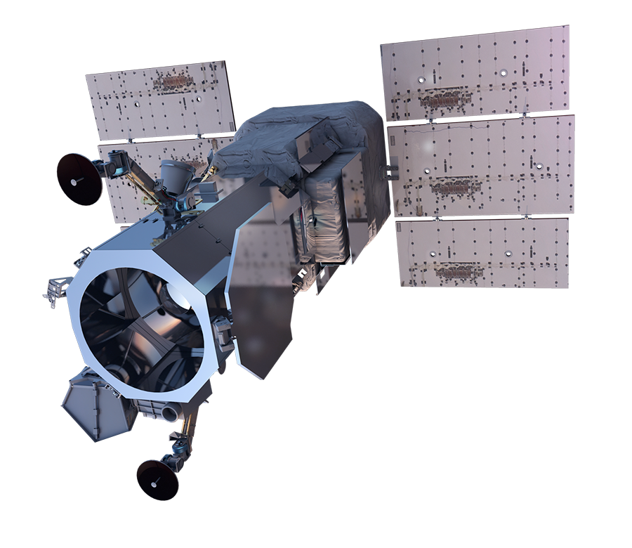
The Geoimage WorldView-3 Spectral Suite has multiple applications

Mineral exploration
By analysing the reflectance characteristics of materials, the suite helps identify potential mineral deposits and occurrences, assisting in mineral exploration efforts.

Alteration detection
The suite's enhancements can highlight alteration associated with mineralisation, allowing identification of areas where the rock has been chemically altered, indicating the potential presence of valuable minerals.

Vegetation analysis
The suite includes vegetation indices and colour schemes that enhance the visibility and analysis of vegetation cover, supporting studies related to vegetation health, biomass estimation, and land use planning.

Environmental monitoring
The suite's capabilities can be applied to monitor and assess environmental changes, such as detecting land degradation, tracking vegetation loss or regrowth, and identifying areas affected by natural disasters.
ASTER Spectral Suite
The Geoimage Spectral Suite utilises ASTER data to enhance imagery and highlight features based on reflectance characteristics. It provides complementary information on ground cover and lithology using visible and near-infrared, short-wavelength infrared (SWIR), and thermal infrared (TIR) data. The enhancements are achieved through various techniques and band combinations. It includes false colour and true colour schemes, greyscale enhancements for iron oxides, normalised difference vegetation index, and decorrelation stretching for SWIR bands.
The suite also offers estimations for alteration minerals like epithermal clay minerals, iron oxides, silica, and propylitic alteration. TIR enhancements focus on emissivity ratios for rock-type identification.
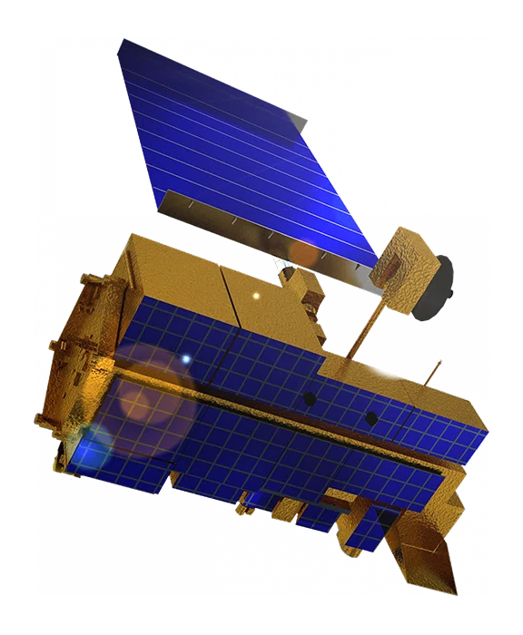
The Geoimage ASTER Spectral Suite has multiple applications

Geological exploration
The suite can be used to identify alteration minerals associated with mineralisation, aiding in mineral exploration efforts.
Environmental monitoring
It enables the assessment of ground cover, vegetation health, and changes in land use over time, supporting environmental monitoring and management.

Disaster assessment
By analysing changes in land cover and identifying areas prone to natural hazards, the suite contributes to disaster risk assessment and emergency response planning.

Urban planning
It supports urban planners in assessing land cover patterns, monitoring urban growth, and evaluating the impact of development on the environment.