Technical Specifications
| Provider | Maxar Technologies |
| Satellites | 1 |
| Resolution | Panchromatic: 30cm GSD Multispectral: 1.2m GSD SWIR: 3.7m |
| Swath width | 13.1 km at nadir |
| Accuracy | 5 m CE90 at nadir 30cm with suitable ground control |
| Bands | Panchromatic: 450-800 nm Coastal: 400-450 nm Blue: 450-510 nm Green:510-580 nm Yellow: 585-625 nm Red: 630-690 nm Red Edge: 705-745 nm Near Infrared 1: 770-895 nm Near Infrared 2: 860-1040 nm SWIR-1: 1195-1225 nm SWIR-2: 1550-1590 nm SWIR-3: 1640-1680 nm SWIR-4: 1710-1750 nm SWIR-5: 2145-2185 nm SWIR-6: 2185-2225 nm SWIR-7: 2235-2285 nm SWIR-8: 2295-2365 nm |
| Stereo available | Yes |
| Coverage | Approximately 680,000 km² per day |
| Altitude | 617km |
About
WorldView-3, operated by Maxar Technologies, is an advanced Earth observation satellite offering a range of capabilities for various industries. Launched in 2014, it provides high-resolution multispectral imaging, including a unique set of 16 spectral bands. WorldView-3's exceptional image quality, spatial resolution, and spectral diversity make it a valuable asset for industries such as mining, agriculture, environmental monitoring, and urban planning, where precise and detailed geospatial information is essential.

Wide coverage area and rapid revisit times
Wide swath and frequent revisits enable real-time monitoring and analysis

Swath width
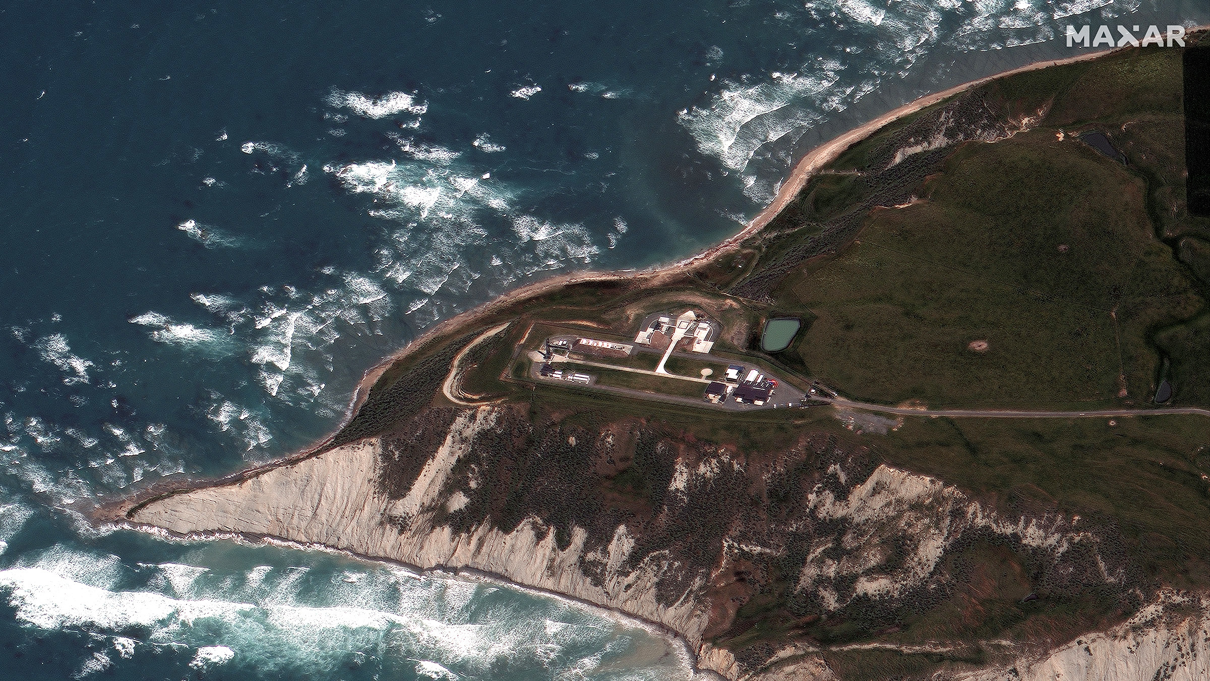
WorldView-3 provides precise high-resolution visual representation of Earth's surface.
Spectral diversity with SWIR capabilities
16 spectral bands, including SWIR, for advanced material analysis and identification.
Features and Benefits
- Captures high-resolution optical imaging data, providing detailed and accurate visual representation of the Earth's surface for precise analysis and interpretation.
- Equipped with 16 spectral bands, including the traditional RGB (Red, Green, Blue) bands and additional bands in the Red Edge, Near-Infrared, and Short-Wave Infrared (SWIR) regions. This spectral diversity enables advanced analysis, including land cover classification, vegetation health assessment, and identification of specific materials or features.
- The SWIR bands in WorldView-3's spectral range offer unique advantages, particularly for geological applications and mineral exploration. The SWIR bands allow for enhanced discrimination and identification of minerals, alteration zones, and geological structures, making it a valuable tool for mining and geological studies.
- Delivers exceptional image quality with sharp and clear imagery, providing precise details for various applications such as infrastructure monitoring, change detection, and environmental analysis.
- Wide swath width and the capability to revisit locations multiple times within a day ensure extensive coverage and timely monitoring of dynamic events, supporting near real-time analysis and decision-making.
Sample Images