Technical Specifications
| Provider | German Aerospace Center |
| Satellites | 2 |
| Resolution | High-resolution SpotLight (Single): 1m High-resolution SpotLight (Dual): 2m SpotLight (Single): 2m SpotLight (Dual): 4m StripMap (Single): 3m StripMap (Dual): 6m ScanSAR: 18.5m |
| Accuracy | 2m at nadir |
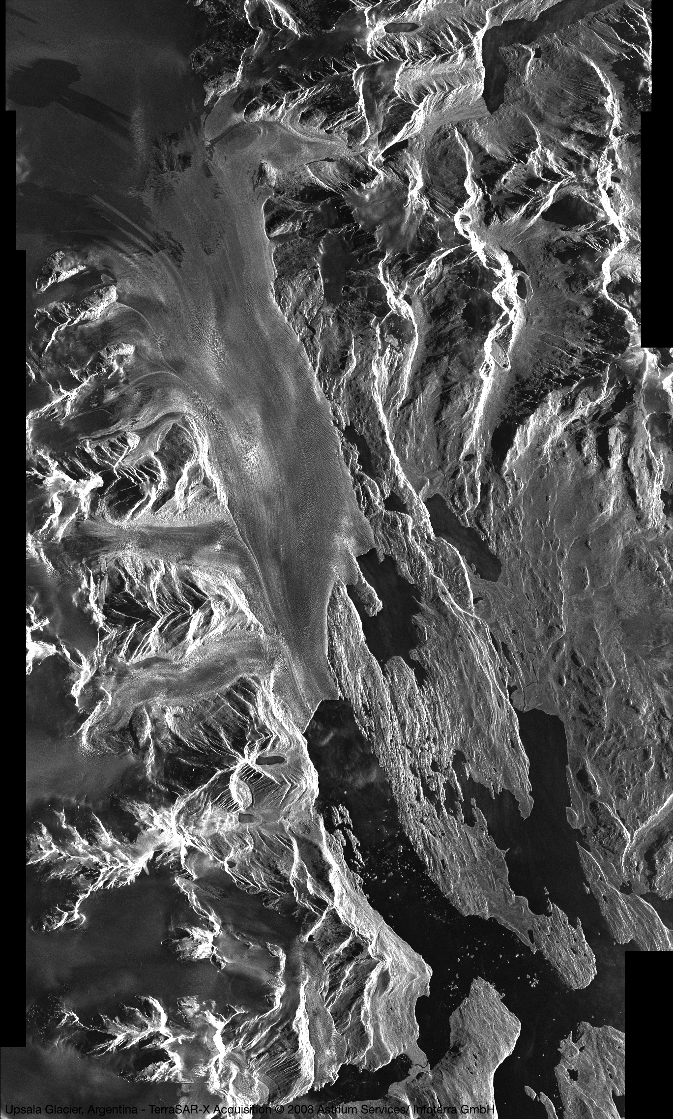
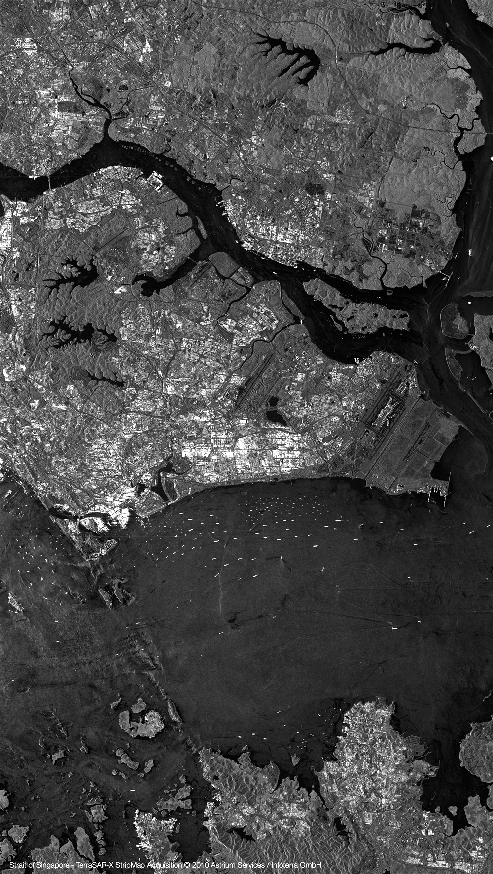
| Bands | X-band Synthetic Aperture Radar (SAR) |
| Stereo available | Yes |
| Coverage | Up to 450,000 km² per day |
| Altitude | 514 km |
About
TerraSAR-X is a German synthetic aperture radar (SAR) Earth observation satellite, launched in 2007. With its advanced imaging capabilities and flexible data acquisition options, TerraSAR-X is a valuable tool for a wide range of applications, including environmental monitoring, agriculture, disaster response, and defense. Its advanced technical specifications, including very high-resolution imaging and interferometric capabilities, make it a valuable tool for industries and organisations that require accurate and up-to-date information.

High-resolution SAR imaging
Advanced SAR imaging captures high-resolution imagery (1-4m) for detailed information applications.

Interferometric capabilities
Interferometric capabilities enable accurate elevation models and ground deformation detection monitoring.

Wide coverage area and flexible imaging modes
Captures 450,000 km² daily, offers flexible imaging modes for global coverage and diverse data acquisition options.
Features and Benefits
- TerraSAR-X's advanced SAR imaging capabilities enable it to capture high-resolution imagery with a ground resolution of 1-4m, making it ideal for applications that require very detailed information, such as urban planning, infrastructure management, and maritime monitoring.T
- erraSAR-X's interferometric capabilities allow for the creation of highly accurate elevation models and the detection of ground deformation, making it a valuable tool for geohazard monitoring and environmental monitoring.
- TerraSAR-X can capture up to 450,000 km² of imagery per day, providing global coverage for a range of applications.
- TerraSAR-X can capture SAR imagery in different modes, including spotlight, stripmap, and ScanSAR, providing flexibility in data acquisition and enabling a wide range of applications.
- TerraSAR-X's dual-receiver system provides improved image quality and flexible data acquisition options, making it a valuable tool for a range of industries and organisations.
Sample Images