Technical Specifications
| Provider | Airbus Defence and Space |
| Satellites | 2 |
| Resolution | Panchromatic: 1.5m GSD Multispectral: 6m GSD |
| Swath width | 60 km at nadir |
| Accuracy | 10 m CE90 at nadir 1.5m with suitable ground control |
| Bands | Panchromatic: 450-745 nm Blue: 450-520 nm Green: 530-590 nm Red: 625-695 nm Near infrared: 760-890 nm |
| Stereo available | Yes - Stereo and Tri-Stereo |
| Coverage | Approximately 3 million km² per day |
| Altitude | 694km |
About
SPOT 6 and SPOT 7 are Earth observation satellites launched in 2012 and 2014, respectively. These satellites are part of the SPOT program developed by the French space agency (CNES). SPOT 6 and SPOT 7 provide high-resolution optical imaging data, making them valuable tools for a wide range of applications, including agriculture, urban planning, and environmental monitoring. With their advanced technical specifications and wide coverage capabilities, SPOT 6 and SPOT 7 offer reliable and up-to-date information for various industries and organisations.

High Resolution Imaging
High-resolution optical imaging data, enabling detailed observations of Earth's surface.

Wide Swath Width
Swath width of 60 km, allowing for large-area coverage in a single pass.

Multispectral data and stereo imaging
Multispectral data for stereo imaging capabilities for 3D modelling and precise mapping.
Features and Benefits
- SPOT 6 and SPOT 7 provide high-resolution optical imaging data, enabling detailed observations of Earth's surface. The panchromatic mode offers a resolution of 1.5-6m, capturing fine details, while the multispectral mode provides a resolution of 6-20m, offering valuable information for land cover classification and change detection.
- SPOT 6 and SPOT 7 have a wide swath width of 60 km, allowing for large-area coverage in a single pass. This is beneficial for applications such as regional mapping, disaster assessment, and land use planning.
- SPOT 6 and SPOT 7 offer multispectral data with different spectral bands, allowing for the analysis of vegetation, water bodies, and land surface features. This facilitates applications such as agriculture monitoring, forestry assessment, and urban planning.
- SPOT 6 and SPOT 7 have stereo imaging capabilities, capturing images from different angles to generate 3D models of the Earth's surface. This feature supports precise topographic mapping, terrain analysis, and urban modelling.
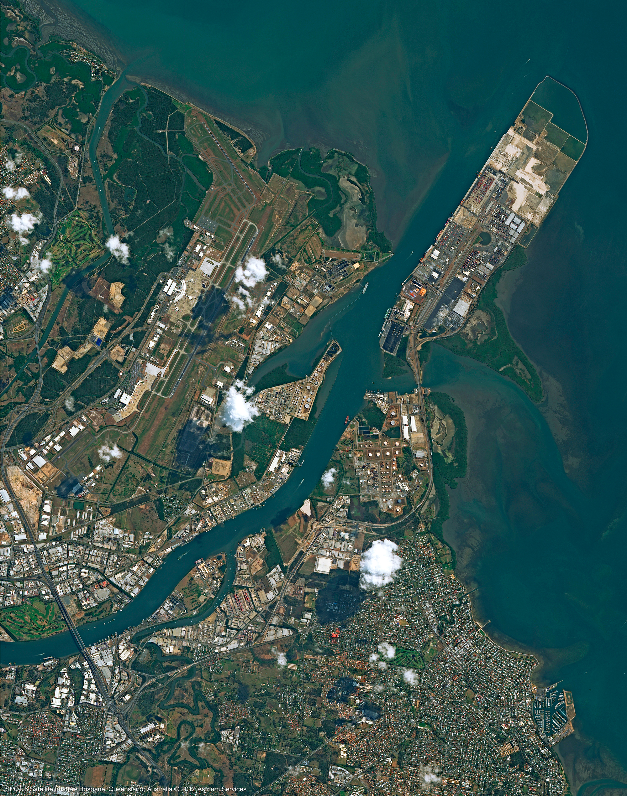
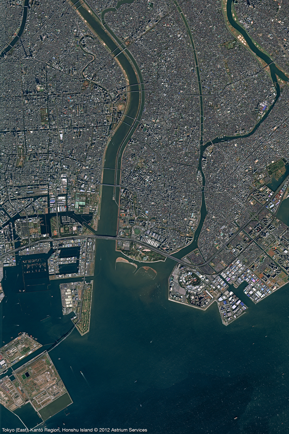
Sample Images