Technical Specifications
| Provider | United States Geological Survey |
| Satellites | 1 |
| Resolution | 15m Panchromatic Operational Land Imager (OLI) 30m Multispectral OLI 30m Thermal Infrared Sensor (TIRS) resampled |
| Swath width | 185km at nadir |
| Accuracy | 12-15m at nadir |
| Bands | Coastal Aerosol: 427-459nm Blue: 436-528nm Green: 513-611nm Red: 626-692nm NIR: 830-901nm SWIR1: 1516-1699nm SWIR2: 2038-2356nm Panchromatic: 488-693nm Cirrus: 1341-1410nm |
| Stereo available | No |
| Coverage | Approximately 185,000 km² per day |
| Altitude | 705 km |
About
Landsat 8 is a United States satellite launched in 2013 as part of the Landsat program, which has been providing Earth observation data since 1972. It is a valuable tool for a range of applications, including agriculture, forestry, and environmental monitoring. Landsat 8 is equipped with an advanced multispectral imaging instrument, providing high-resolution data in the visible, near-infrared, and thermal infrared regions.

Cost effective
A great option for low-cost satellite imagery and geospatial data.

Wide swath width
Swath width of 185 km, allowing for large-area coverage in a single pass.

Creative Commons license
Available under a Creative Commons-like license that allows for free and open use.
Features and Benefits
- Landsat 8 provides multispectral imaging data, allowing for detailed monitoring of land use and land cover changes over time. This makes it a valuable tool for a range of applications, including land management, agriculture, and forestry.
- Landsat 8 is equipped with a thermal imaging instrument, providing valuable information for monitoring vegetation health, water quality, and urban heat islands.
- Landsat 8 is part of the Landsat program, which has been providing Earth observation data since 1972. This long record of data provides a valuable resource for researchers and organisations monitoring long-term changes on the Earth's surface.
- Landsat 8 is a valuable tool for monitoring environmental changes, including deforestation, wildfire, and natural disasters.
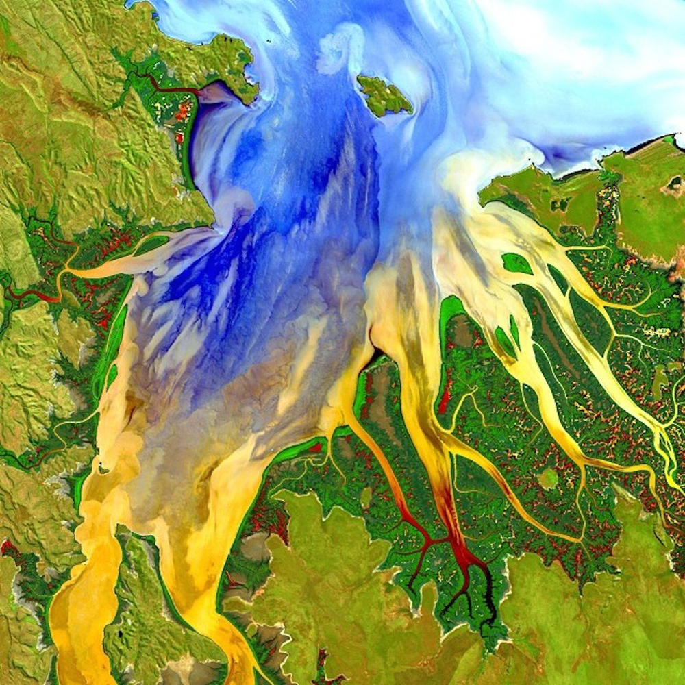
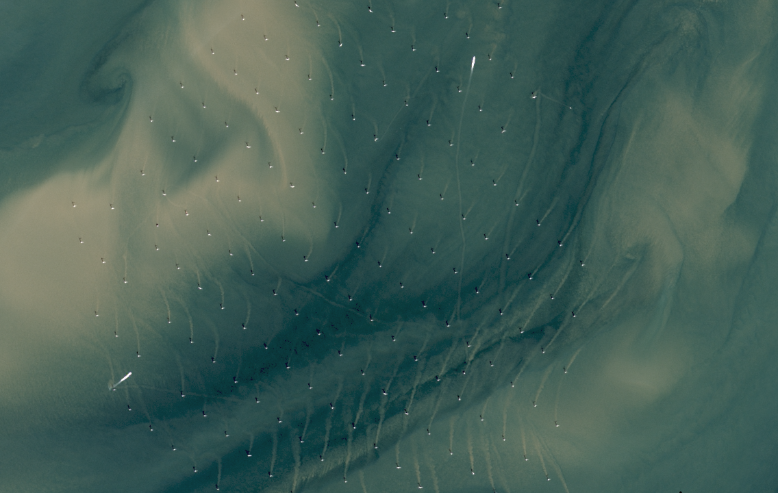
Sample Images