Technical Specifications
| Provider | Maxar Technologies |
| Satellites | 1 |
| Resolution | Panchromatic: 41cm GSD Multispectral: 1.65 m GSD |
| Swath width | 15.2km at nadir |
| Accuracy | < 3m CE90 at nadir 40cm with suitable ground control |
| Bands | Panchromatic: 450-800 nm Blue: 450-510 nm Green: 510-580 nm Red: 655-690 nm Near IR: 780-920 nm |
| Stereo available | Yes |
| Coverage | 350,000 km² per day |
| Altitude | 681 km |
About
GeoEye-1, launched in 2008 from Vandenberg Airbase, is an very high-resolution satellite under the ownership and operation of Maxar Technologies. With a pixel resolution of 41cm, this satellite efficiently gathers image data. Its remarkable agility enables it to rotate and swivel with robotic precision, allowing for forward, backward, and side-to-side movement. Depending on the latitude, GeoEye-1 can revisit specific areas within a span of 1-3 days.
The satellite's capabilities encompass the simultaneous capture of 0.41m panchromatic (black & white) and 1.65m multispectral (colour) digital imagery. These datasets, either separately or in combined form (pan-sharpened) as 0.41m multispectral imagery, are readily accessible for acquisition. This satellite imagery serves a multitude of purposes, including applications in air and marine transportation, defense, disaster response, oil and gas exploration, mining exploration and production, mapping of remote regions, insurance and risk management, location-based services, agricultural crop management, and many other domains.

Frequent revisits
GeoEye-1 revisits any location on Earth every 3 days.

Swath width
The satellite has a nadir swath width of 15.2km.

Accuracy
Achieve 3m geolocation accuracy allowing for precise mapping.
Features and Benefits
- GeoEye-1 revisits any location on Earth every 3 days.
- The satellite has a nadir swath width of 15.2km.
- GeoEye-1 offers 3m geolocation accuracy, which means that customers can map natural and man-made features to within 3 metres of their actual location.
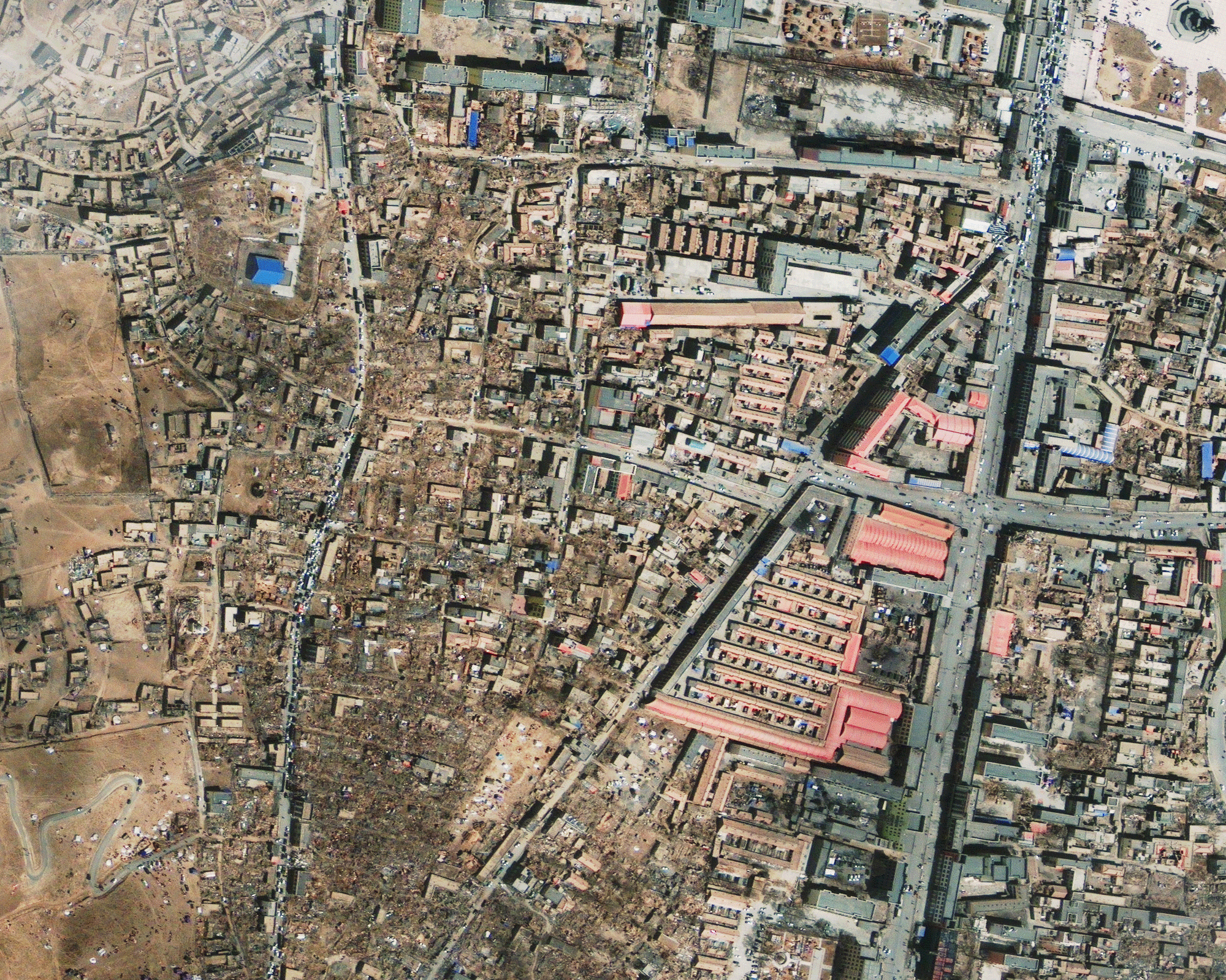
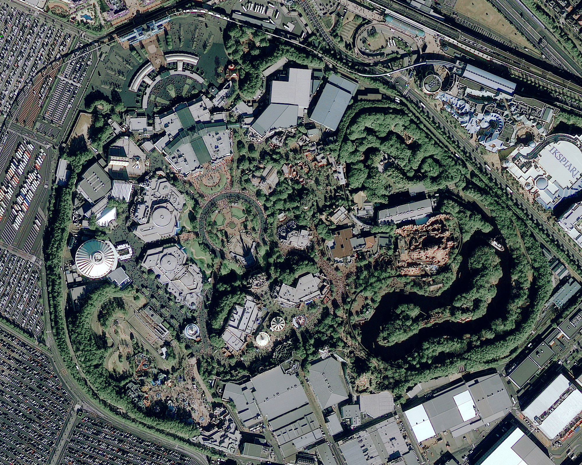
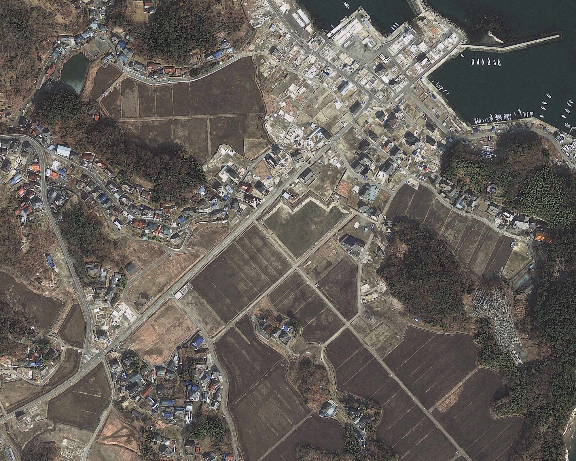
Sample Images