Client
QLD Department of Transport and Main Roads
Location
Queensland
Area captured
10,618 sq km
Satellites
ALOS-1
Services provided
Processing, DSM, AW3D
Client
The Department of Transport and Main Roads in Queensland (QTMR) is committed to creating a safe, efficient, and integrated transport system, including road, rail, air, and sea, to support the movement of people, goods, and services.
They actively engage with the community and value their input in decision-making to ensure the impact on people's lives is considered. A fundamental principle is to offer diverse and accessible transport options to all Queenslanders, regardless of their location, to ensure fair access to the transportation network.
Challenge
QTMR required a comprehensive digital elevation/terrain dataset covering a 1km wide corridor of their road and rail network. The dataset needed to meet specific criteria, including resolution, accuracy, and licensing conditions, to support various applications such as noise modeling, spatial data analysis, and hydraulic modeling.
Solution
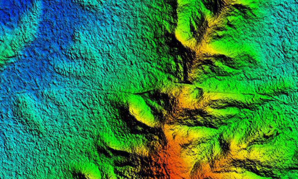
Geoimage's proposed solution involves the supply of AW3D Level 2 elevation data and contours over the entire extent of the defined corridor. The AW3D Level 2 dataset is a Digital Surface Model (DSM) produced by NTT Data in collaboration with JAXA and RESTEC in Japan. It utilised data collected from the extensive ALOS PRISM archive between 2006 and 2011. The Geoimage technical team used various preprocessing techniques to make sure it was suitable for ingestion into QTMR software and hardware. Geoimage holds an exclusive arrangement with RESTEC to distribute this product in Australia.
Outcomes
The dataset provided by Geoimage comprised a 16-bit GeoTIFF, along with supporting world files, and ASCII gridded data format, both at a 5m resolution. In areas where cloud coverage hinders accurate imagery, NTT Data employs SRTM\GDEM data resampled to 5m (the AW3D Grid) to fill in the missing information. To ensure data quality, Geoimage conducted a thorough Quality Check, supplemented with deficiency correction and error rectification.
Benefits
By providing the AW3D Level 2 elevation dataset, Geoimage presents a comprehensive and high-quality solution that meets the QTMR's digital elevation data requirements. The accurate, extensive, and compatible dataset empowers QTMR to enhance planning, analysis, and decision-making processes within the Queensland road and rail network corridor.