19 January, 2022
Eruption captured of Tonga volcano with satellite imagery
Described as one of the most violent eruptions ever caught on satellite, the recent volcano named Hunga Tonga-Hunga Ha’apai burst into the sky last Saturday.
Located 65km north of Tonga’s main island, the volcano sits along the Pacific Ring of Fire, a seismically active region. The underwater volcano had been fairly inactive since 2014 until recently. Scientists have issued tsunami warnings for several locations including Tonga, Fiji, Vanuatu, American Samoa and other Pacific Rim islands. These giant waves have been moving across the Pacific Ocean, as far as 2,300km from New Zealand.
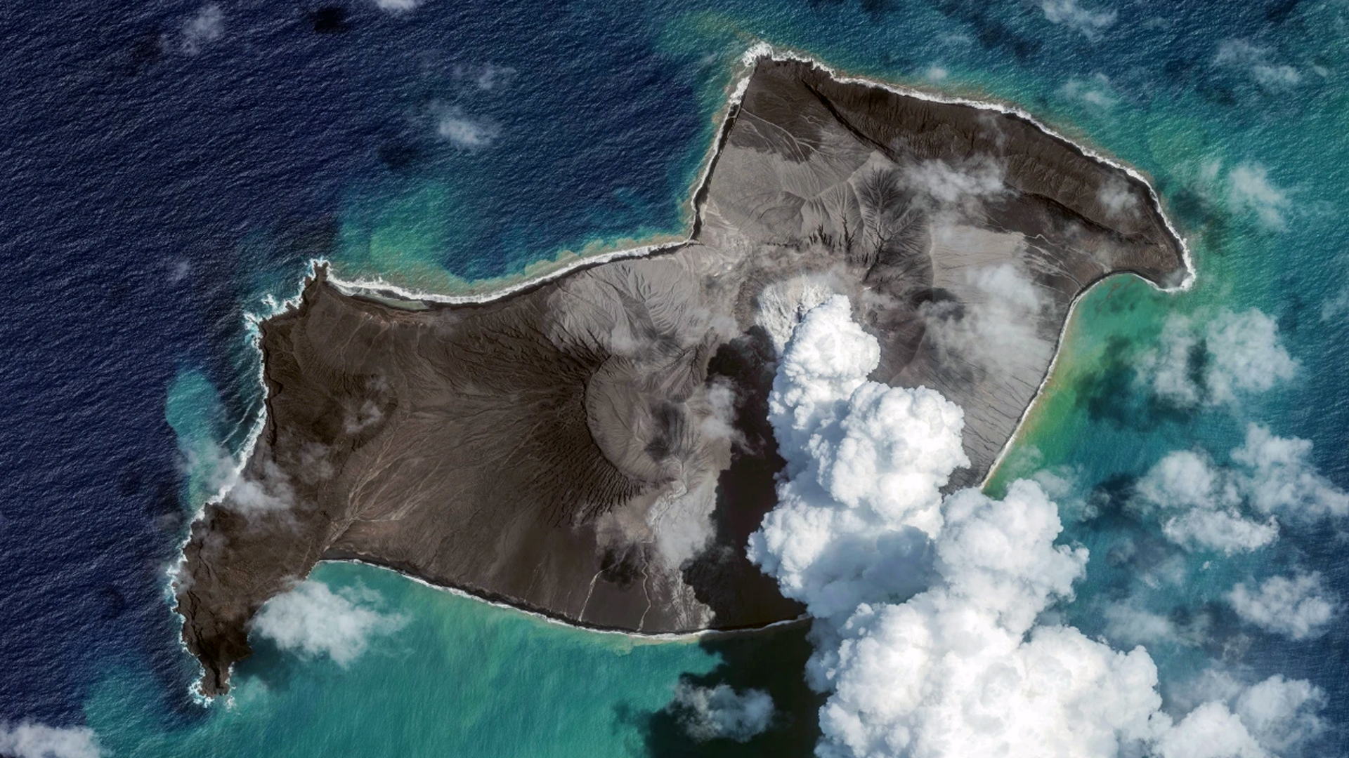
Satellites have played a fundamental role in recording this event where images were captured before, during and after the eruption. This series of snapshots were taken from our partner BlackSky as seen below. Using advanced technology on their Global-1 satellite at 1m resolution and positioned between 400-500km altitude in space, they were able to capture the incredible ash field resulting from this underwater volcanic eruption.
Huge clouds of ash and smoke exploded upwards as high as 100,000 feet during the eruption. This enabled satellites to capture the incredible effects of the plumes including gravity shockwaves that radiated outwards. Capturing this type of natural event is a rare occurrence. The time lapse below of the explosive moment reveals the atmospheric shockwaves via different global satellites at various positions in space.
A final video of today's explosive #Tonga #eruption.
This shows data from all three weather satellites covering the area. From left to right: Korea's GK-2A, Japan's Himawari-8 and the US GOES-17.
Fascinating to see the different perspectives. pic.twitter.com/aB02QaayWx— Simon Proud (@simon_sat) January 15, 2022
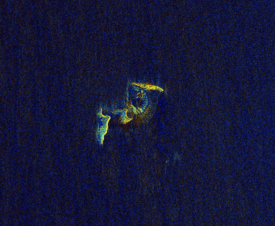
What does Radar imagery look like over the eruption?
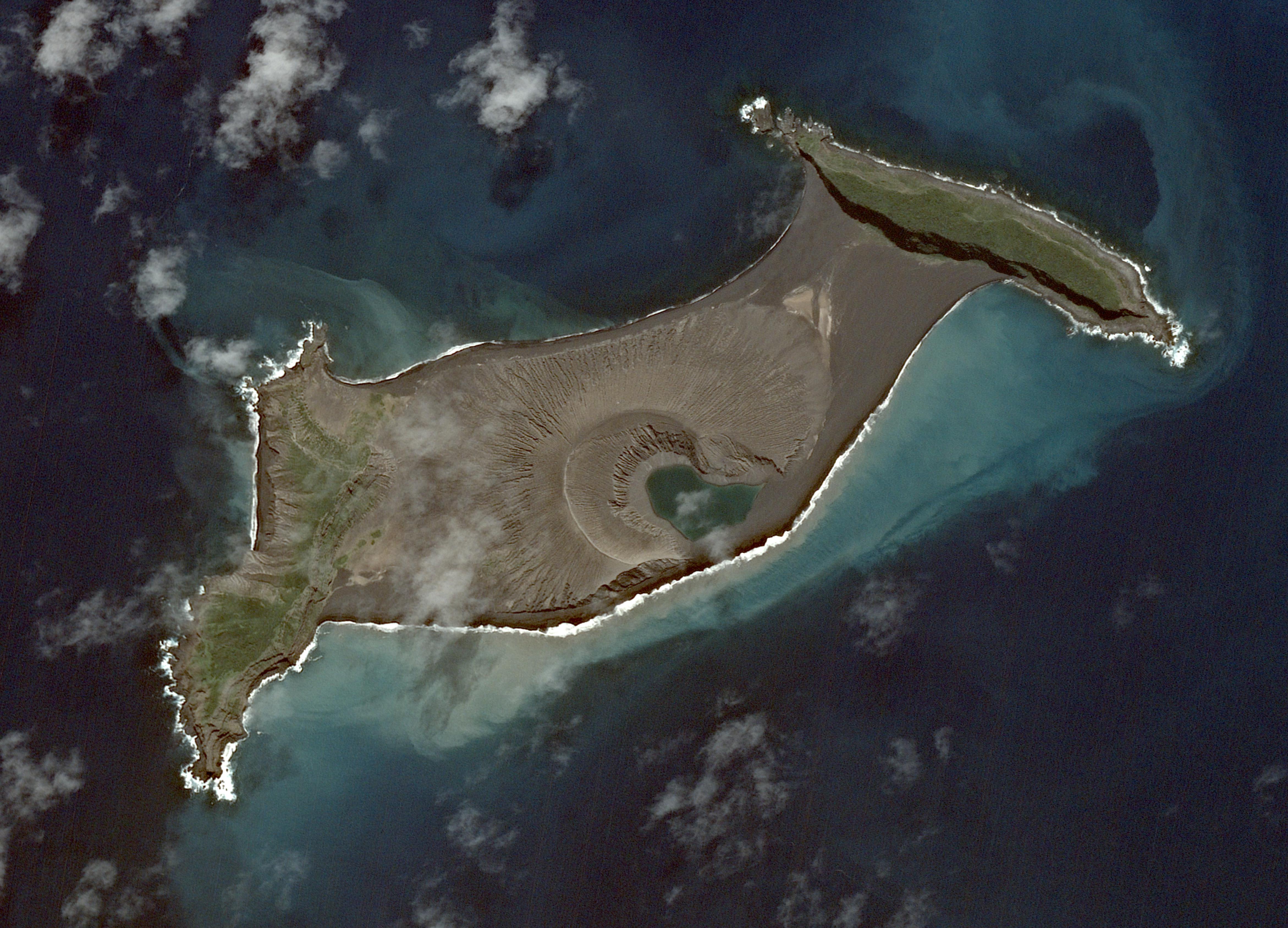
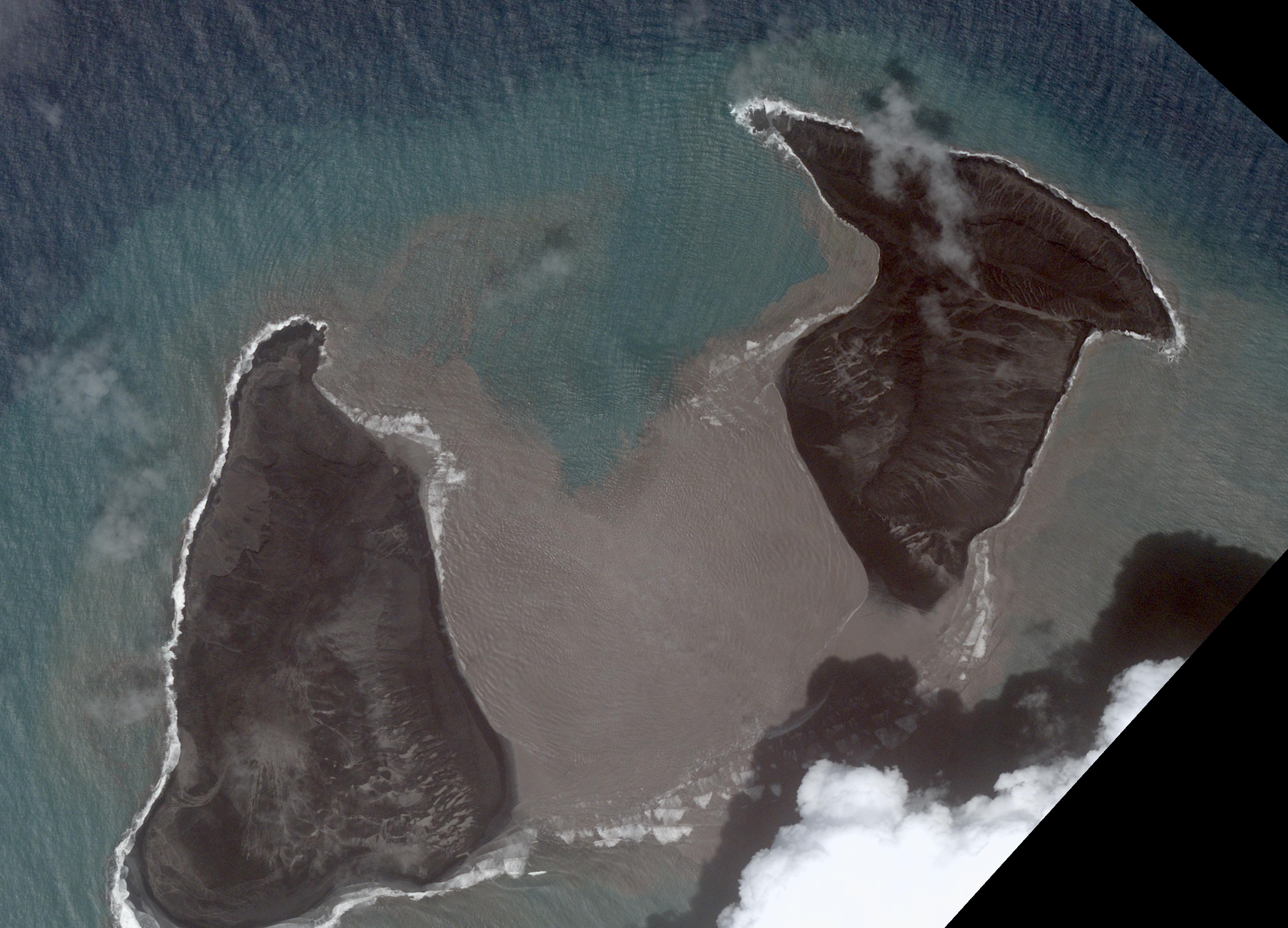
Radar imagery was also taken over the eruption using the Sentinel-1 satellite at a 10m resolution. As this imaging technique is able to penetrate cloud and smoke cover, we can see the effects of the volcano on the surrounding small islands. A notable observation can be seen from the satellite images below showing before and after the eruption.
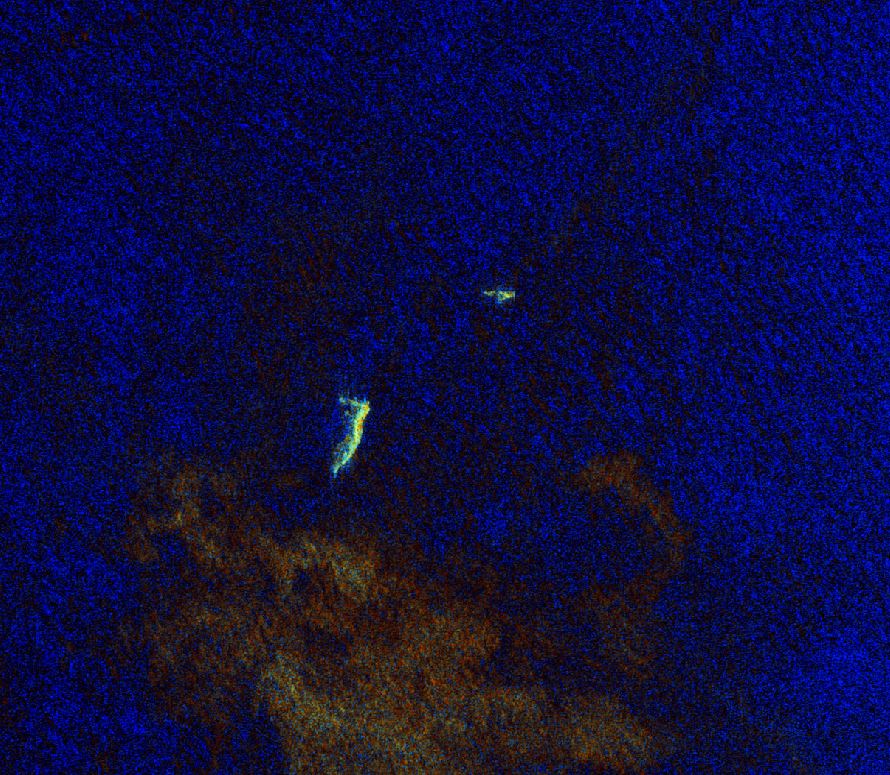
The before image shows a central field of ash cover that has now completely disappeared into the ocean as the eruption settles. The after image shows a clear comparison where the water has risen to engulf some of the surrounding islands identifying the remaining land mass. This type of radar data reveals insights that are difficult with optical imagery to penetrate the immense smoke plumes and cloud cover. This is valuable to meteorologists, environmental and marine scientists to understand the effects on ocean and land mass following large events like volcanic eruptions.
Satellite imagery and the various processing techniques not only enable incredible insights to man made occurrences and projects, but natural events like Hunga Tonga-Hunga Ha’apai.
The Geoimage team are sending our thoughts to those affected by the tsunamis across the Pacific Ocean as a result of the eruption.