05 July, 2022
The importance of real-time satellite imagery
When companies need important visual data for use in Geographic Information Systems (GIS), satellite imagery is used by several industries as a way to streamline the process. Even the most rudimentary uses of satellite imagery can create useful insights into projects for industries such as mining and infrastructure.
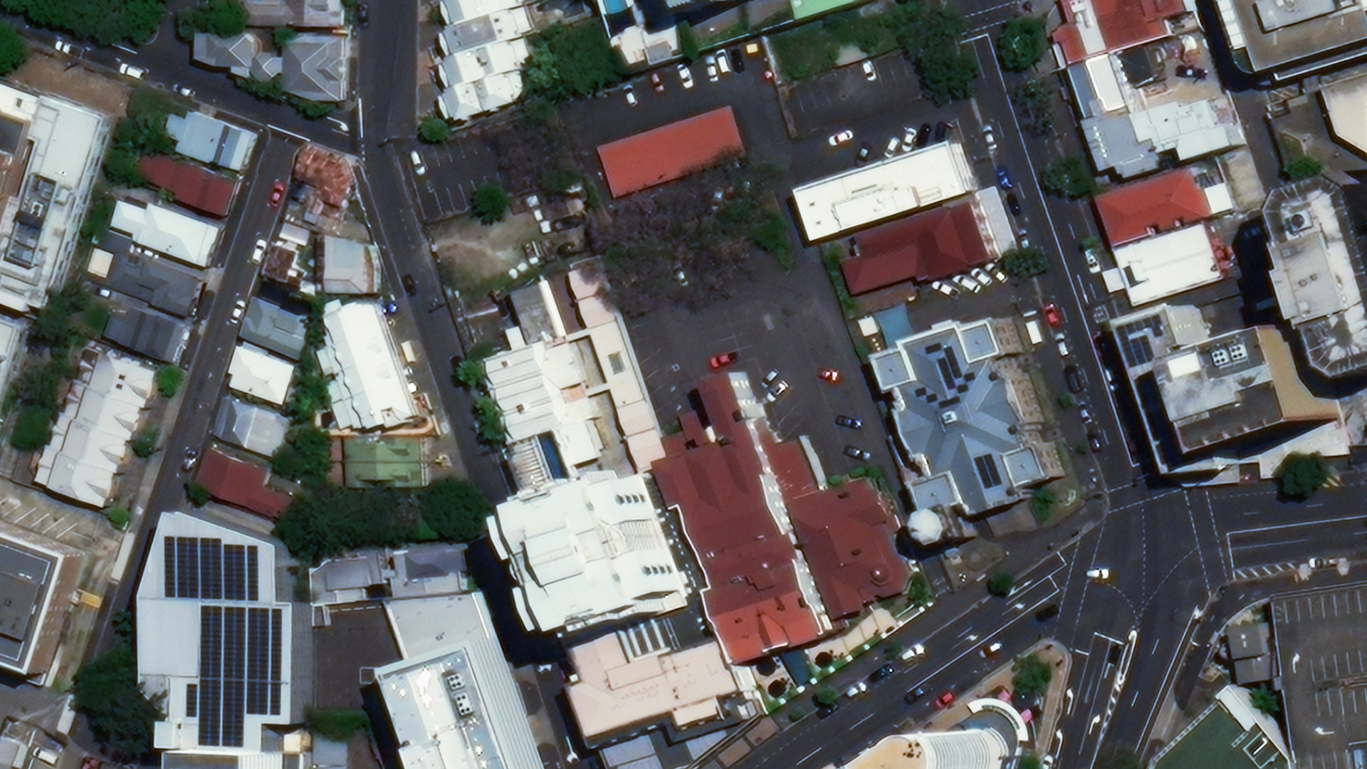
Below is a comparison of 30cm and 15cm HD imagery from Pléiades Neo.

Technological advances in real-time satellite images for Australia
As technology advances and satellite imagery usage becomes more sophisticated, live satellite imagery is becoming a staple in many industries. When developmental industries are able to process, analyse, assess, and act on real-time satellite imagery data, they ensure that they are at the cutting edge of the visual data space.
By partnering with Geoimage, businesses can cement their place at the front of the technological line, using the latest and greatest technologies to stay one step ahead. Whether it’s with mainstream uses like GPS or more advanced uses like creating a visual 3D map of a potential mining or infrastructure site, Geoimage can leverage partner technologies and knowledge to create an adequate solution across various sectors. Using live satellite images in Australia and other areas can streamline several project processes, from the design stage all the way through to completion.
Real-time satellite images in Australian industries
Though cutting-edge sophisticated real-time satellite monitoring data is not available everywhere in the world for public use, there are certain industrial, environmental, and governmental sectors that can benefit immensely from the continued growth in the GIS space.
Mining Exploration
Though not unique to this sector, it is crucial for major mining projects to have a regularly updated base map for reference at any stage. Geo-referenced data is essential for effective planning when it comes to tasks such as transportation of goods and materials or even simply surveying the area for continued safety assurances.
Infrastructure
The best way to effectively monitor a build is through live satellite imagery. Current satellite imagery in South Australia and other states benefits immensely from near-live updates, especially in the planning and completion of projects.
Agriculture
There is no better way to remotely monitor crop growth and health than with live satellite imagery. Reliable updated data is most useful in this sector when it can be visually analysed and processed.
Environment
Being able to continuously monitor a single area is invaluable in protecting the environment. By looking at the differences in satellite imagery in the same area at different times, environmental disasters such as floods or even climate change can often be mapped out and anticipated to create plans of action.
Explore your options with Geoimage today
At Geoimage, we are committed to helping industries of all kinds process, interpret, and maximise the potential of their work. That’s why we offer enterprise-grade solutions for live satellite images in Australia and surrounding areas.
Our cutting-edge partners allow us to provide high-quality satellite imagery at the forefront of the current space. Whether you’re in mining, infrastructure, agriculture, environment, or government projects, Geoimage can help you take your work to the next level.
To learn how you and your business can use live satellite images in Australia and elsewhere to increase efficiency and streamline future projects, request a quote from Geoimage and take that first step to a more convenient world.
If you have any other questions regarding our products and services - or the state of current satellite images in South Australia and the world in general - get in touch to speak to qualified experts today. We’re looking forward to helping your company and your industry grow to their full potential.