05 February, 2024
Geoimage signs new partnership with SIIS
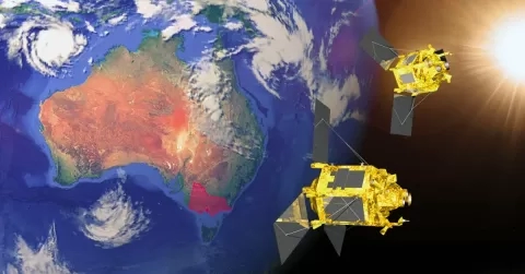
Geoimage, a leading Australian provider of geospatial solutions, has signed off a strategic partnership with SI Imaging Services (SIIS) the official distributor of the Korean owned KOMPSAT constellations since 2012.
The Kompsat constellation comprises a suite of advanced satellites, including KOMPSAT-2, KOMPSAT-3, KOMPSAT-3A, and KOMPSAT-5. These satellites provide high-resolution optical and radar imagery, enabling comprehensive and precise monitoring of the Earth’s surface.
Here’s a closer look into the capabilities of each satellite:
All optical KOMPSAT satellites capture around 1:30pm local time, later in the day compared to other providers closer to 11am local time.
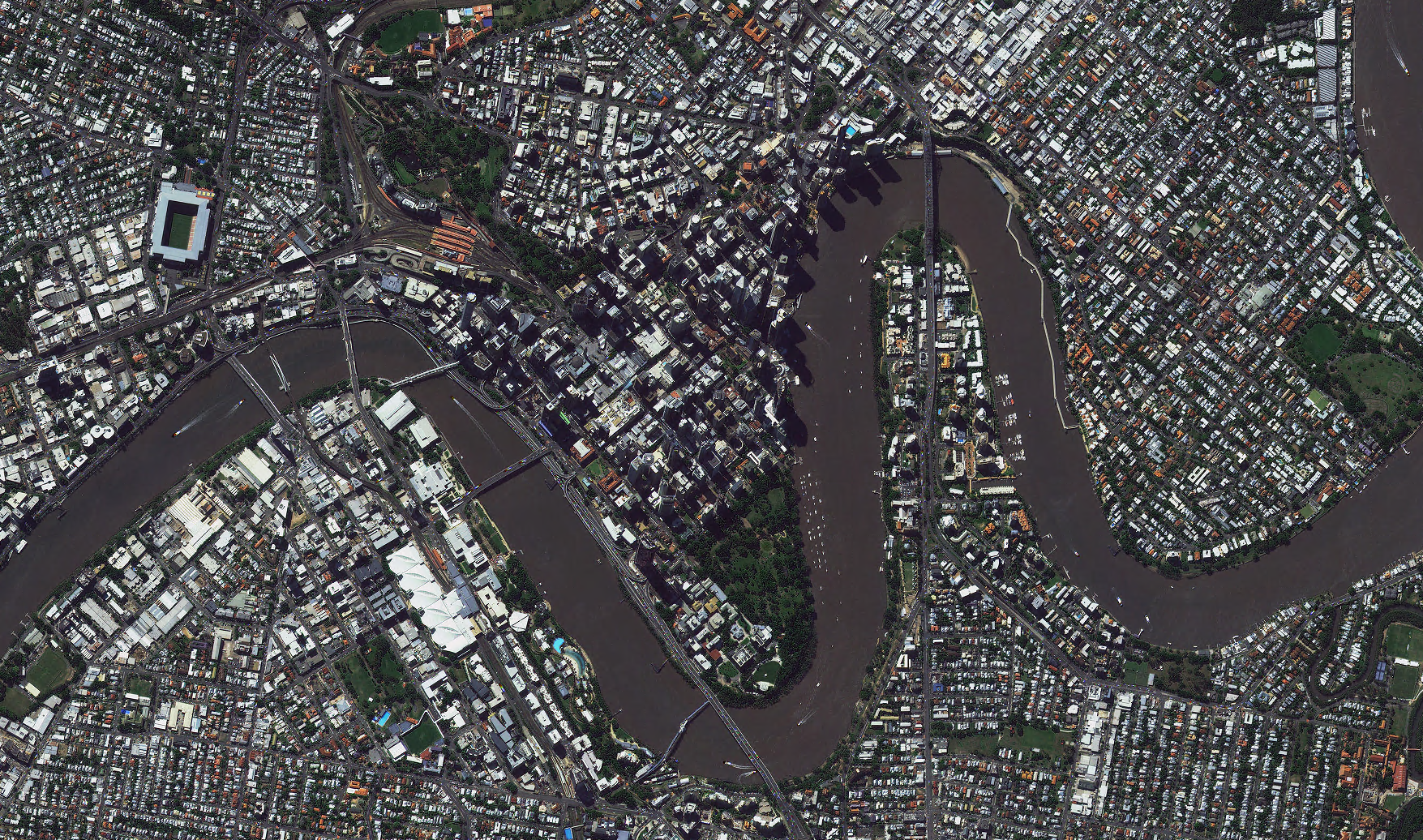
- K2 offers 1-meter resolution imagery and history of captures over Australia from 2007 to 2022.
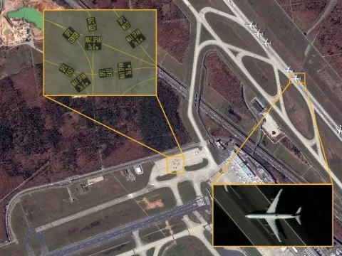
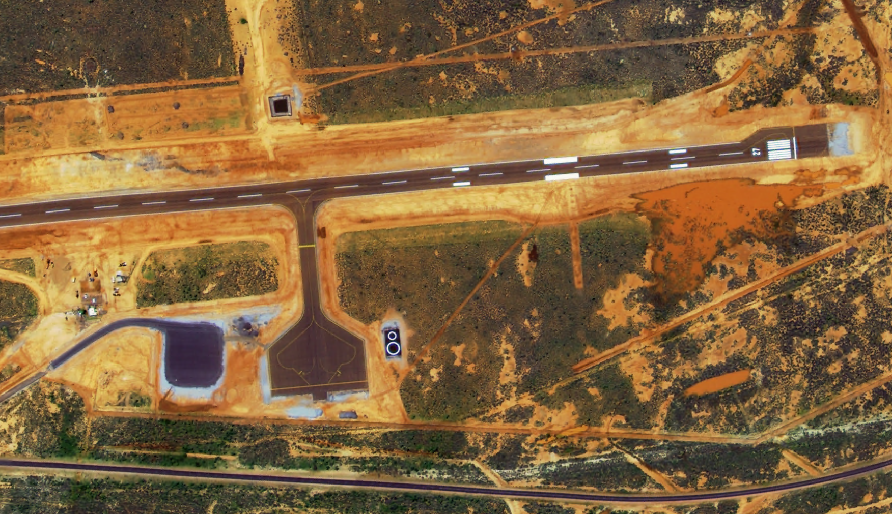
- K3, with up to 50-centimeter resolution, dives into the sub-meter range. Its archive spans from 2013 to the present day, with the ability to task for the most recent data.
- K3A, the highest resolution up to 40 centimeters, ensures quality with an archive from 2015 to the present, also with tasking capability.
- K5 - Launched in 2013 is your Radar choice from KOMPSAT, with X-band SAR.
A unique difference of optical KOMPSAT satellites is that they capture around 1:30pm local time, later in the day compared to other providers closer to 11am local time. This can be beneficial if clouds are predominant in the morning, or your project is afternoon focused.
Mark Covington, General Manager at Geoimage, “The partnership with SIIS brings with it the promise of further expanding our MaaS (Monitoring as a Service) offering to our clients who rely on regular, high resolution, high quality imagery and change detection to manage their assets. We are greatly looking forward to the year ahead with SIIS”
Ethan Kim, Team Leader of Global Sales at SI Imaging Services, “SIIS, a provider of high-quality satellite imagery data for 12 years, is pleased to announce our partnership with Geoimage, a company that has been contributing to the field of satellite imagery and geospatial solutions for the past 36 years. We look forward to collaborating in mining, engineering, oil and gas, agricultural, government, and environmental sectors, leveraging Geoimage’s long experience and expertise with SIIS’s high-quality satellite imagery data.
Furthermore, SIIS plans to launch its high-resolution satellite, SpaceEye-T, in 2025, offering imagery with a remarkable 30-centimeter resolution. This advancement will enable us to provide even more detailed and informative images to our clients.
We are excited to see the synergy that can be created when two experts come together.”