Services
Geoimage offers a range of geospatial services to industries such as satellite imagery acquisition, analysis and interpretation, mapping, and spatial data management to aid decision-making and improve operational efficiency.
Request a quote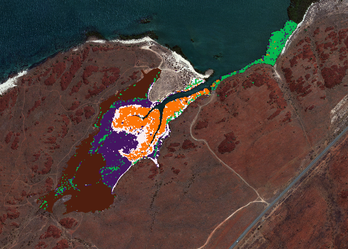
Classification
Classification groups image pixels into classes based on spectral and spatial traits. Valuable data, like land cover and features, are extracted from satellite images for mapping.

Image Hosting
Geoimage excels in processing vast satellite data daily. For high-resolution basemaps in your GIS, opt for Web Map Tile Service (WMTS) - efficient, instant imagery without infrastructure hassle.
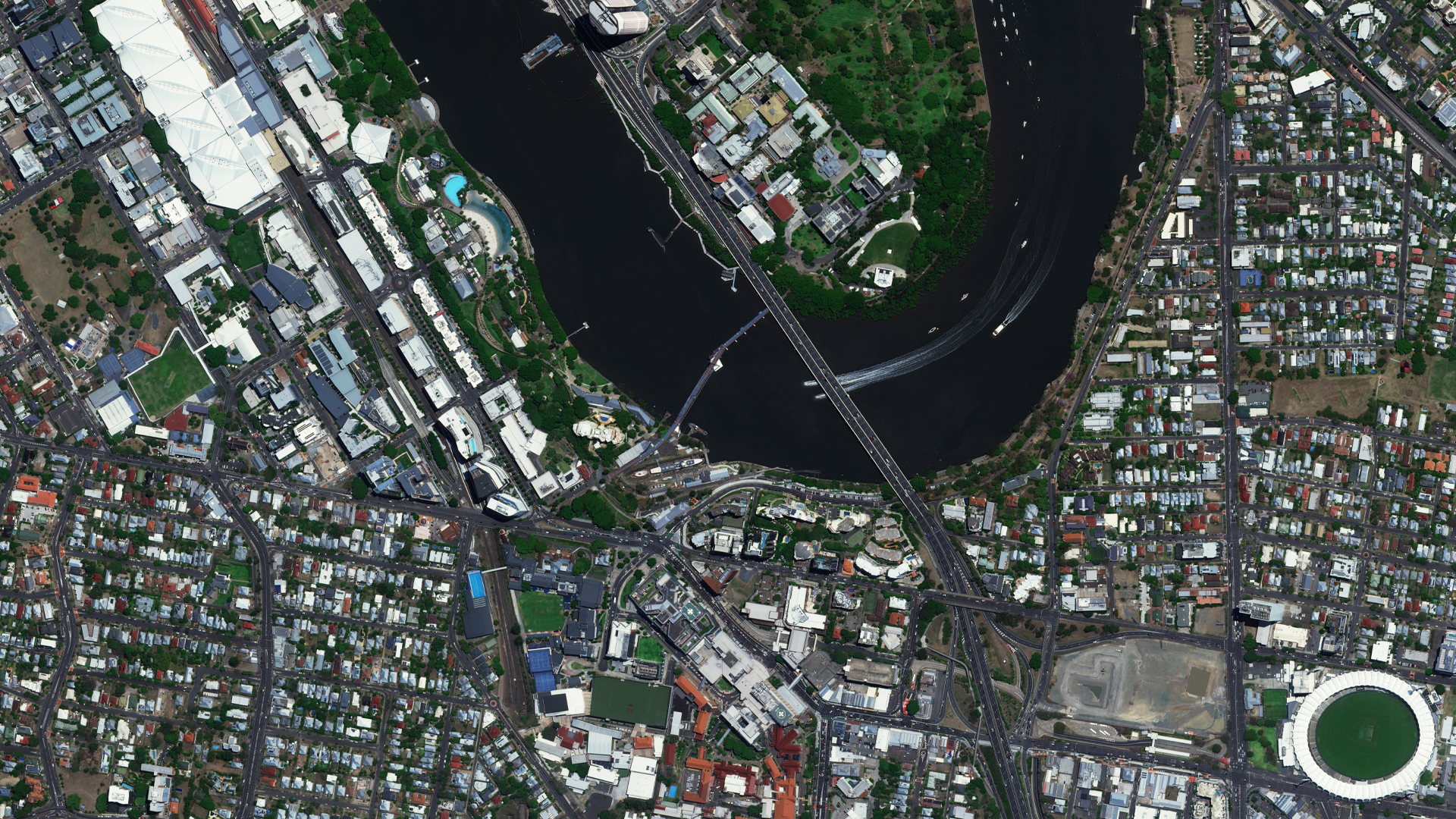
Image Processing
Most types of raw satellite imagery require some type of geometric correction or rectification so that the image corresponds to real-world map projections and coordinate systems. Geoimage’s local processing team can provide a range of services to correct and enhance your satellite imagery solutions.
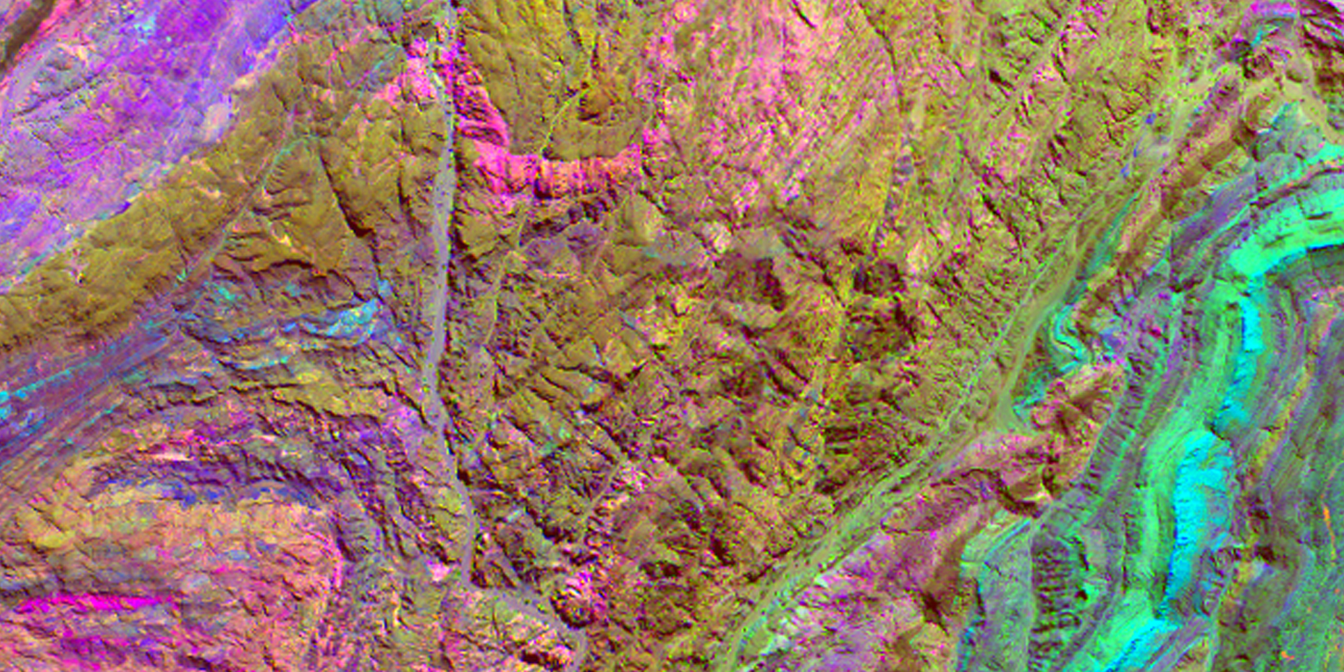
InSAR
InSAR, a radar-based remote sensing technique, employs interferograms to identify and quantify alterations on the surface of our planet. This method offers valuable insights for diverse applications, yielding significant information.

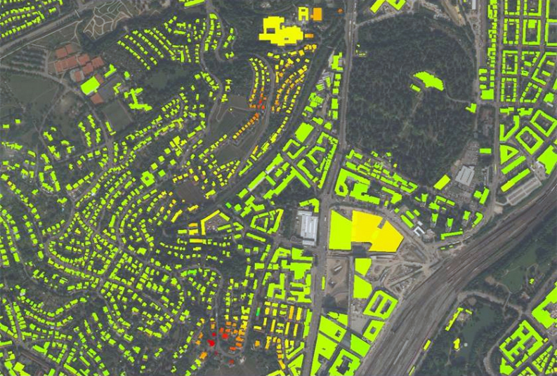
Quality Control
Quality control of satellite imagery raw data ensures accuracy and reliability. Steps include data validation, calibration, and quality assessment to detect errors and ensure adherence to client specifications.
Satellite Imagery
Satellite imagery is essential for monitoring human activities and natural processes globally. Geoimage provides enhanced data through satellite partnerships to cater to diverse industry needs, ensuring accurate geospatial information.
Spectral Analysis
Satellites use diverse wavelengths to reveal unseen wonders. Multispectral/hyperspectral imagery provides valuable insights for vegetation, minerals, and more.