Improved monitoring for compliance and observation
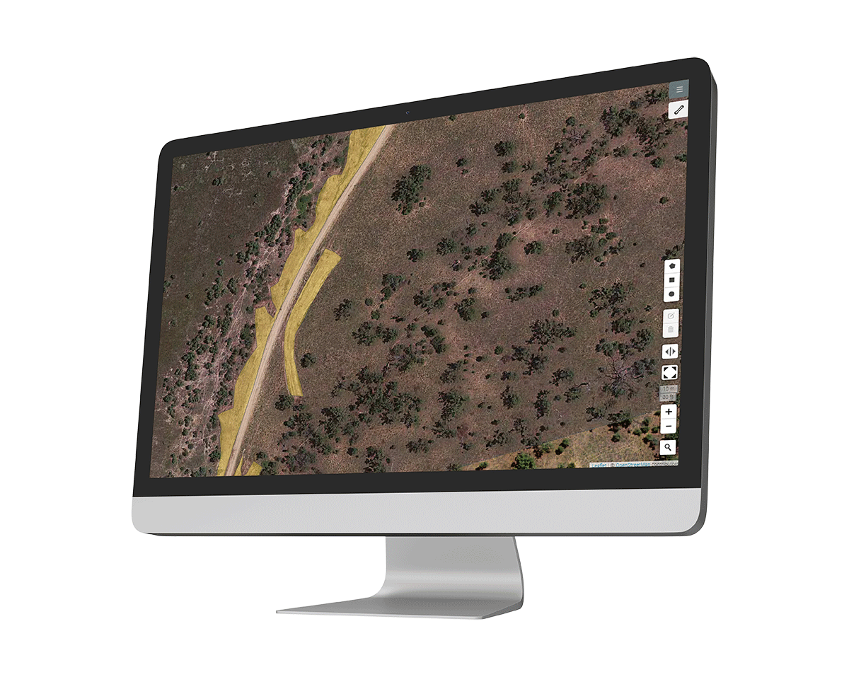
Monitoring as a Service (MaaS) utilises satellite imagery to monitor changes for your compliance with regulations, land-use policies and other legal requirements. Satellite imagery provides a bird’s eye view of large areas and can reveal detailed information about the landscape, such as changes in vegetation cover, urban development, and mining activities. It can also be used to detect and monitor prohibited activities and provide evidence in legal proceedings.

Provide your details
Provide your area of interest and the frequency of your capture dates.

Let us handle the rest
Our expert team will do the rest and provide you with the end results.
Transforming industries with MaaS solutions
At Geoimage, we use satellite imagery to provide monitoring and compliance services to various industries, including mining and exploration, environmental, and urban planning. Here are some ways in which our MaaS solutions can assist various industries:

Mining and exploration
Monitoring is essential in site selection, exploration, and environmental impact assessment since it aids in the identification of suitable mineral extraction locations. It also enables continual monitoring of land cover and environmental conditions.
Infrastructure
Monitoring aids project monitoring, optimising site planning through geospatial analysis, enhancing route planning for efficient transportation, and contributing to improved urban traffic management.

Environmental monitoring
Monitor deforestation rates and land use changes, while also tracking water bodies, pollution, and air quality, and assisting in the prediction and management of natural disasters such as floods and bushfires.

Insurance and risk assessment
MaaS can assist in assessing risks related to natural disasters, enabling insurance companies to better underwrite policies.

Urban planning and development
From monitoring road construction to high-rise development and changes to urban parks, MaaS can aid in designing sustainable urban development plans, optimising land use, and promoting efficient infrastructure.

Agriculture
Monitor crop health to assist with irrigation and pest control decisions. For specialised farming operations, MaaS can enhance resource utilisation and early disease detection.