Access the world's most advanced geospatial data and insights
With Maxar Geospatial Platform Pro (MGP Pro) you can discover, select and integrate the highest-quality geospatial data for your project or to power your products.
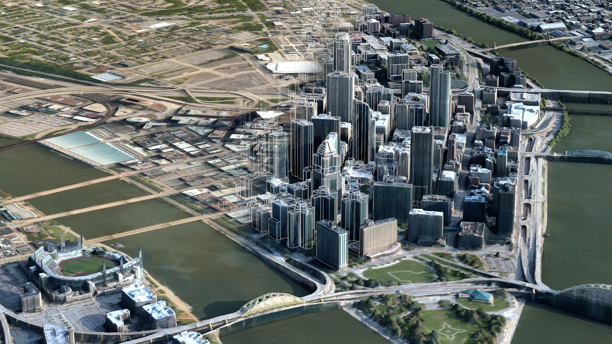
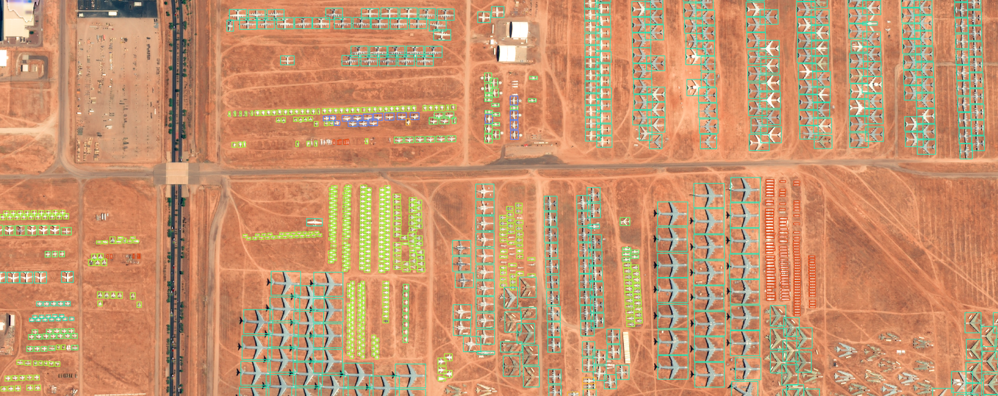
Whether you need to download or stream satellite imagery, 3D models, or advanced analytics, MGP Pro has a solution to meet your most demanding geospatial challenges.
3.8M
Square kilometres of Earth imagery capacity each day
125+
Petabytes of available data in the imagery library
20+ years
Inventory of global change in high-resolution
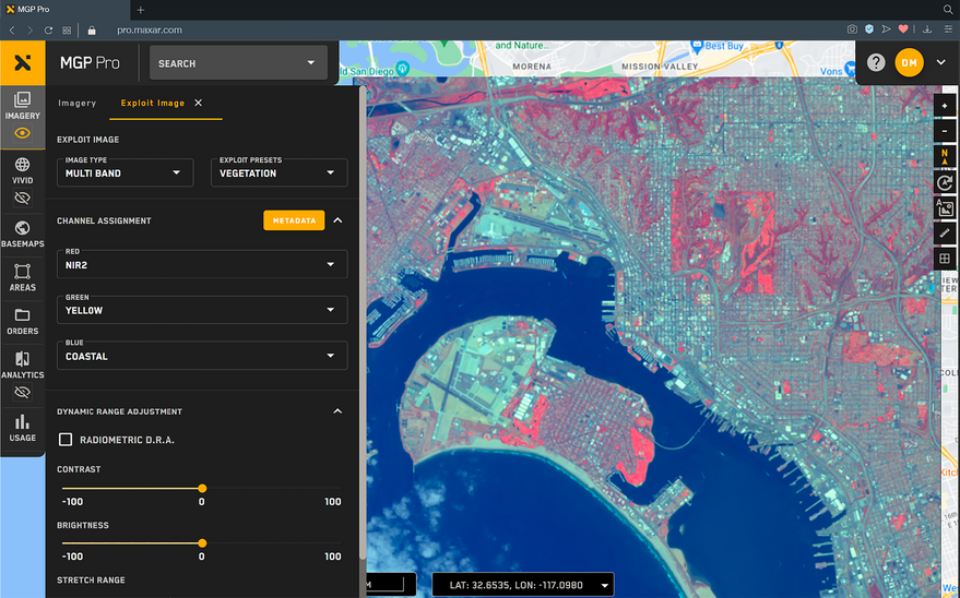
Simple, secure access

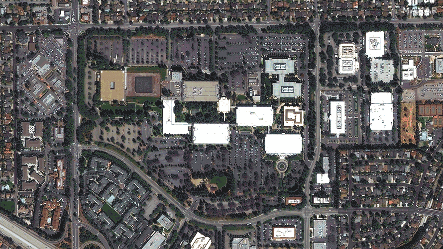
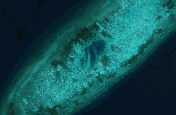
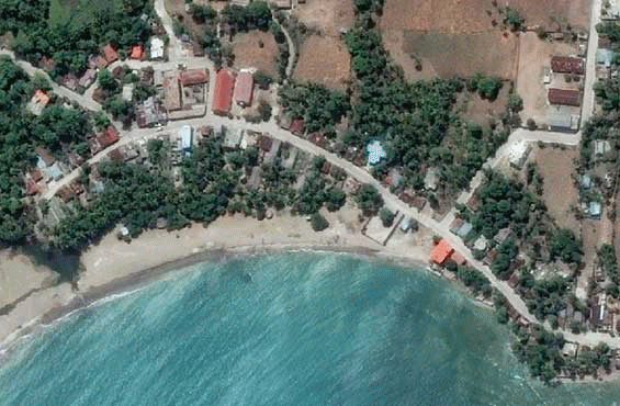
Premium imagery
More than 125 petabytes of the high-resolution imagery up to 30 cm resolution and 4 m CE90 accuracy.

Global coverage
Coverage at 50 cm resolution or better worldwide, including global denied areas.

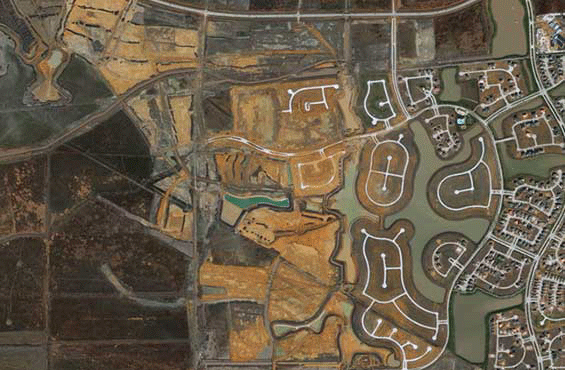
Rapid refresh
More than 3.8 million sq km of new imagery added every day, over the areas that matter most.

Customised flexibility
OGC streaming services, web interface and GIS integrations via convenient subscription options.
One platform for premium data and insights

Satellite imagery access on your terms
A Maxar Geospatial Platform Pro subscription gives you on-demand access to the world’s most recent high-accuracy, high-resolution satellite imagery and analytics.