05 October, 2023
Introducing WorldDEM™ Neo: A global, off-the-shelf elevation dataset
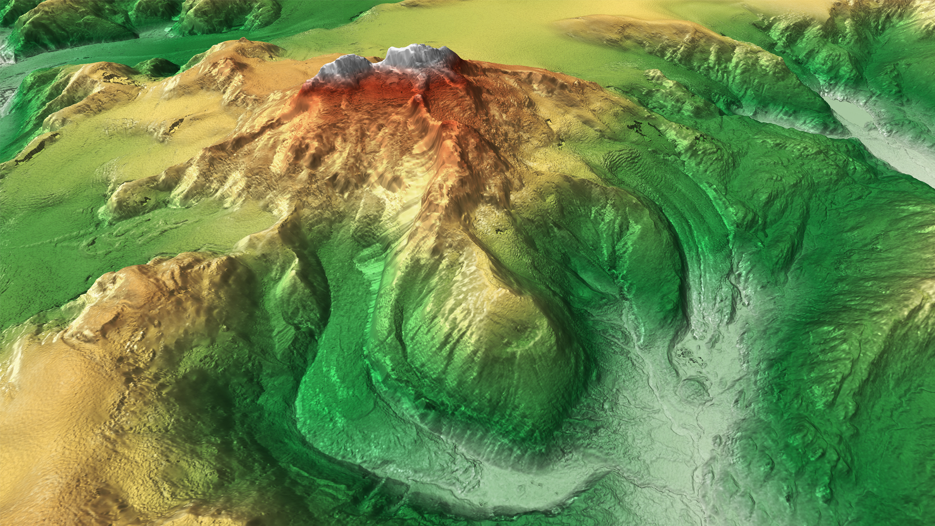
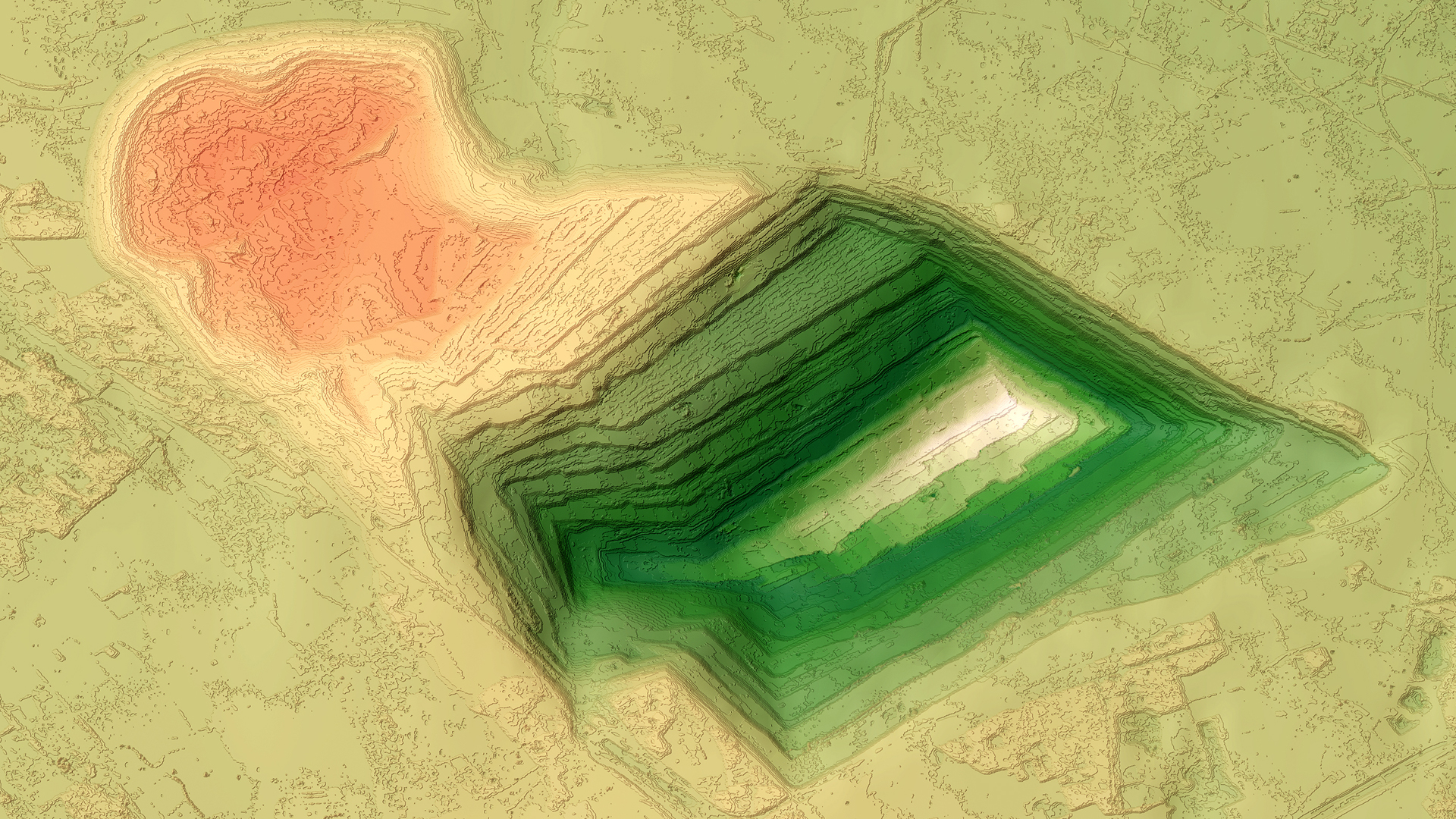
In the realm of Earth observation and geospatial intelligence, precision, and accuracy have always held a paramount position. Airbus's latest offering, WorldDEM™ Neo, is a high-resolution and accurate digital elevation model (DEM) newly available.
With worldwide coverage and the recent data from 2017 to 2021 the WorldDEM Neo is a cost-effective off-the-shelf product suited to many of our clients WorldDEM Neo takes a significant leap forward with a spatial resolution of 5 metres compared to the predecessor at 12m. This milestone signifies that we can now capture and analyse the Earth's surface with an unprecedented level of detail and precision.
Key features
| WorldDEM Neo | WorldDEM | |
| Resolution | 5m pixel spacing | 12m pixel spacing |
| Accuracy | Accuracies of 2m relative and 2.5m absolute vertical | |
| Coverage | Up-to-date global coverage | |
| Availability | Globally off-the-shelf availability - Rapid Delivery | |
WorldDEM Neo has a wide range of applications, making it an indispensable tool in a variety of industries:
- Mining exploration: Precise elevation data aids in geological studies and mineral exploration.
- Flood mapping: Rapid and precise elevation data is invaluable for flood risk assessment and disaster response.
- Renewable energy: Planning and optimising solar and wind farms becomes more efficient with detailed topographical information.
- Telecommunications: Identifying optimal locations for cell towers and network planning is now more straightforward than ever.
- Structural planning: Architects and engineers can utilise this data for the precise planning of buildings and infrastructure.
Whatever your area of interest, wherever in the world, enjoy fast and easy access to WorldDEM™ Neo by contacting our expert team today.