10 October, 2023
The advantages of satellite imagery compared to other alternatives
In recent years, the field of remote sensing has achieved remarkable advancements, providing numerous methods for capturing extensive images of the Earth's surface. Among these options, satellite imagery has emerged as a leading solution, surpassing drones, aerial, and other alternatives in various aspects. Let's take a closer look at some of these advantages.
Coverage
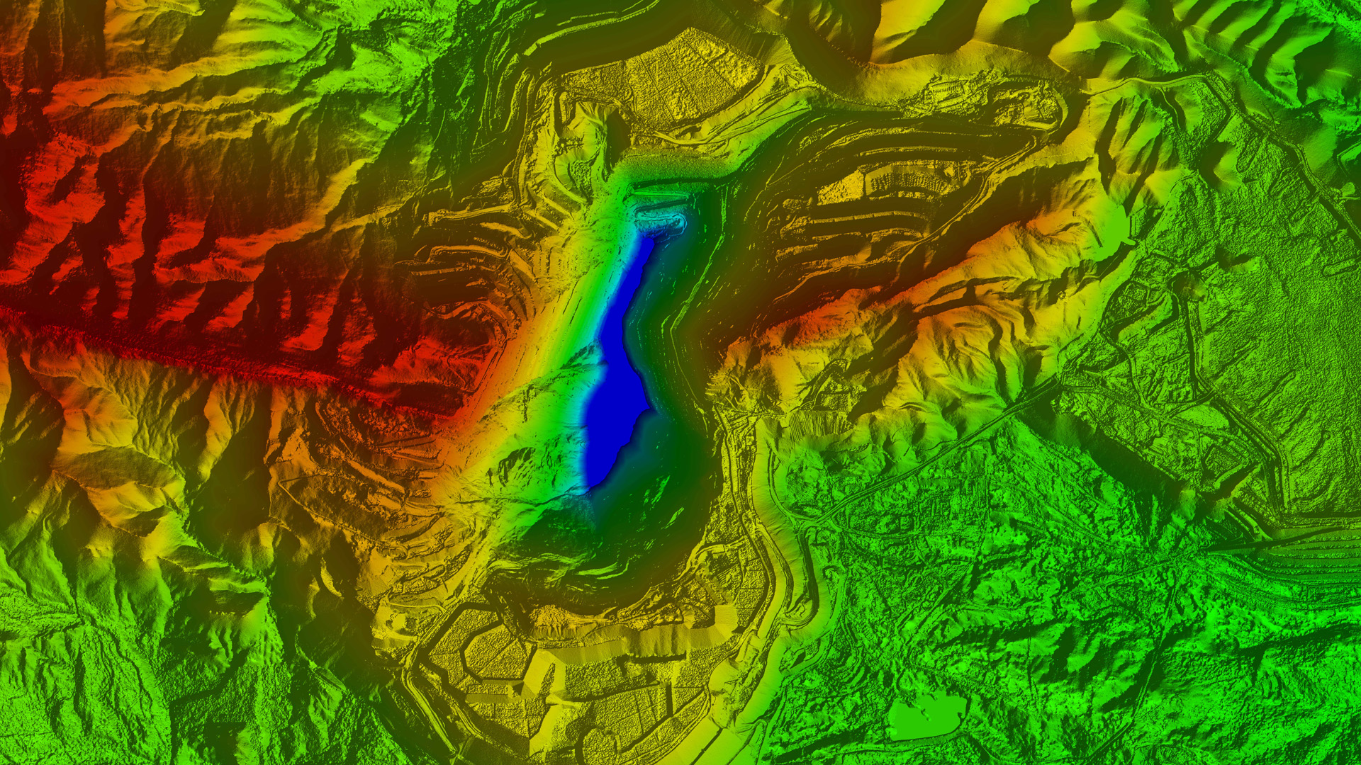
Satellite imagery has a distinct advantage when it comes to coverage. Satellites orbiting the Earth can capture images of vast areas, including remote and inaccessible regions, providing a comprehensive view of the Earth's surface. This wide coverage facilitates monitoring large-scale events such as natural disasters, deforestation, and urban development on a global scale. Unlike drones and aerial platforms, which have limited flight range and endurance, satellites can consistently provide imagery over extended periods without geographical constraints.
Cadence of data acquisition
Satellites operate in a fixed orbit, allowing them to capture imagery consistently and at regular intervals. This frequency of data acquisition is crucial for monitoring dynamic processes such as land cover changes, crop health, and natural disasters. In contrast, drones and aerial solutions often have limitations in terms of flight time, weather conditions, and operational costs, resulting in irregular data collection. Satellite imagery offers a reliable and continuous stream of data, allowing users to make informed decisions and to detect changes.
Cost-effectiveness
Satellite imagery presents a cost-effective solution compared to drones and aerial options. Establishing and maintaining a fleet of drones or operating aircraft for aerial surveys require substantial investments in equipment, pilot training, and operational expenses. The cost of satellite imagery is typically based on data usage, allowing users to access and analyse imagery without incurring high initial costs. This affordability makes satellite imagery accessible to a wider range of users and promotes its integration into various sectors.
Safety and accessibility
Satellite imagery offers a safe and accessible means of obtaining valuable data. Drones and aerial platforms involve potential risks, including accidents, collisions, and malfunctions that may result in property damage or personal injury. Satellites, operating at altitudes beyond the Earth's atmosphere, eliminate these safety concerns. Additionally, satellite imagery can be accessed remotely from anywhere with an internet connection, providing ease of use and enabling widespread collaboration among researchers, organisations, and governments. This accessibility enhances the potential for global data sharing, fostering innovation and decision-making at a broader scale.
Historical and archive data
Satellite imagery provides an abundance of historical and archive data, allowing for retrospective analysis and long-term trend monitoring. With the growing number of satellites in orbit and the continuity of data acquisition, users can access imagery archives dating back several years or even decades. This vast historical database enables comparisons, trend analysis, and the identification of patterns over time. Such capabilities are invaluable for environmental monitoring, urban planning, and disaster management, as they provide insights into long-term changes and help in assessing the effectiveness of interventions.
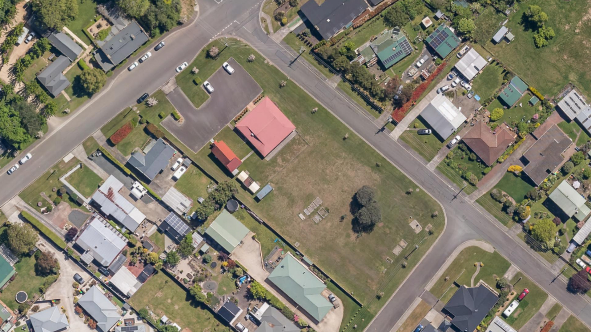
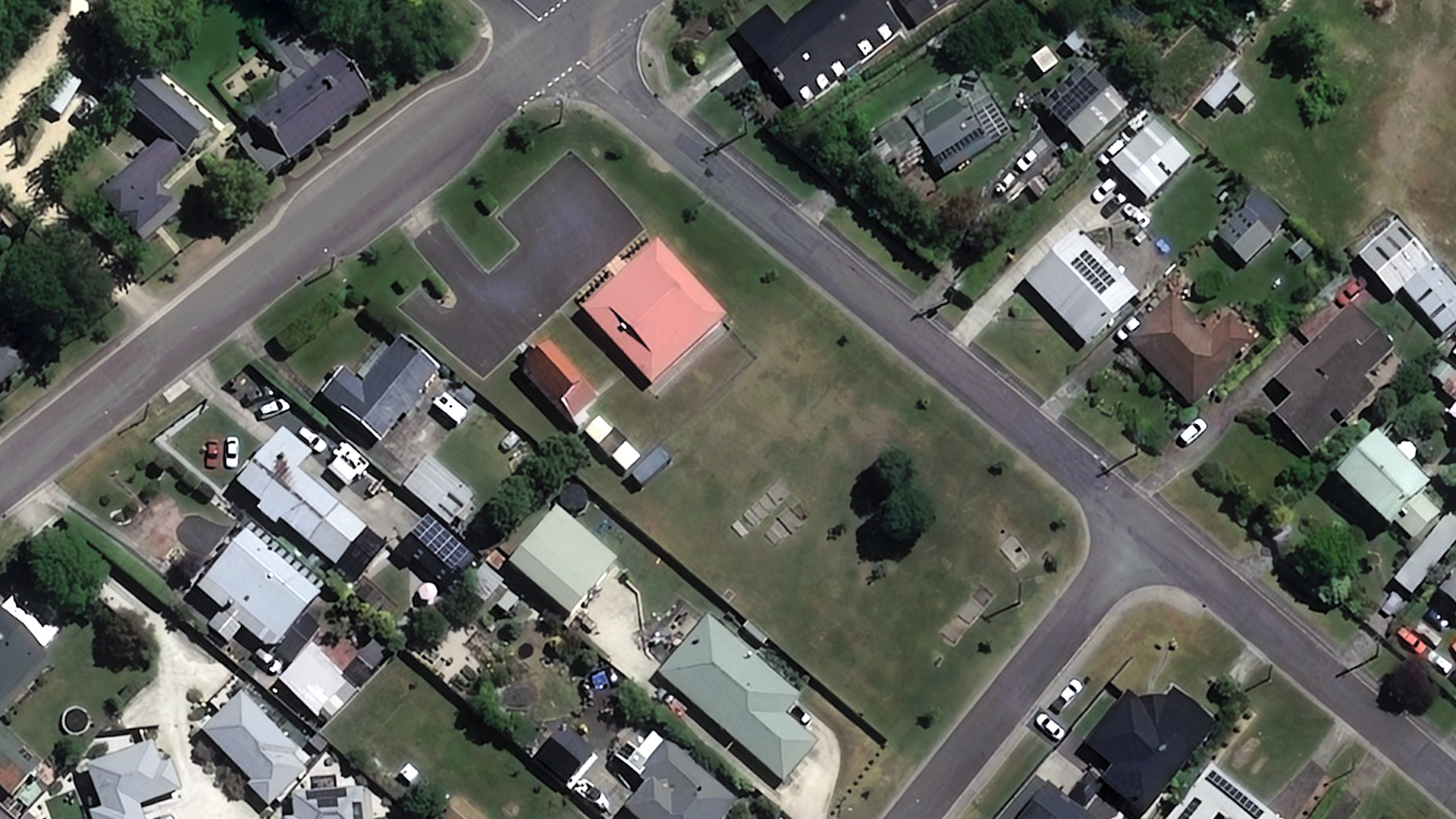
15cm HD imagery
In recent years, a significant advancement in satellite imagery has been the introduction of 15cm HD imagery, which now rivals the quality of 10cm aerial imagery. The production of 15cm HD images involves specialised processes and proprietary software applied to native 30cm images. Read more about 15cm HD imagery here.
Future of remote sensing with satellite imagery
Satellite imagery has emerged as a leading option for remote sensing, surpassing drones and aerial platforms in several key aspects. The advantages of satellite imagery, including its vast coverage, consistent cadence of data acquisition, cost-effectiveness, safety, accessibility, and availability of historical and archive data, make it a powerful option for a wide range of applications.
With its comprehensive view of the Earth's surface, reliable and continuous data streams, lower costs compared to other options, and safe and accessible operation, satellite imagery continues to revolutionise various industries and foster innovation in global decision-making.
As technology advances, the potential of satellite imagery is expected to grow even further, opening new possibilities for environmental monitoring, resource management, urban planning, and disaster response.